Valleys and Rivers
The plateau is cold, dry and nearly flat at its edges — but cut it open and you find the warm, wet corridors where almost everyone lives.
The major rivers of Asia rise here, and the inhabited valleys are the low warm exceptions to a cold high surface.
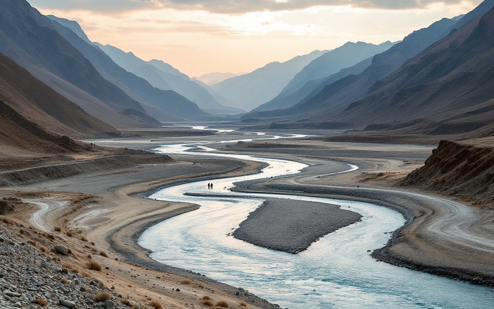
Yarlung Tsangpo source elevation: ~4,560 m (near Manasarovar)ProTibet picture library
01The Roof That Drains
Tibet sits above four thousand metres across most of its extent, and the high surface sheds water in every direction.
The Yarlung Tsangpo rises in the glaciers of the Kailash range in the west — near Lake Manasarovar at roughly 4,560 metres — and runs east for nearly 1,800 kilometres before cutting a gorge through the eastern Himalayan massif to become the Brahmaputra in the plains below. The Indus rises in the same district, a few dozen kilometres to the north, and turns west. The Mekong and Salween begin in the plateau's eastern rim. No comparable area on land sends major rivers toward so many separate ocean basins; geographers record this drainage patternas radial, spreading outward from a high interior, and the Tibetan plateau is its most dramatic continental example.
The northern plateau — the Chang Tang — has no outlet at all. Water that falls there stays, concentrating salt in the lakes that dot the surface. The inhabited world is elsewhere: in the valleys that drop below the wind-scoured tableland and trap enough warmth for barley to ripen.
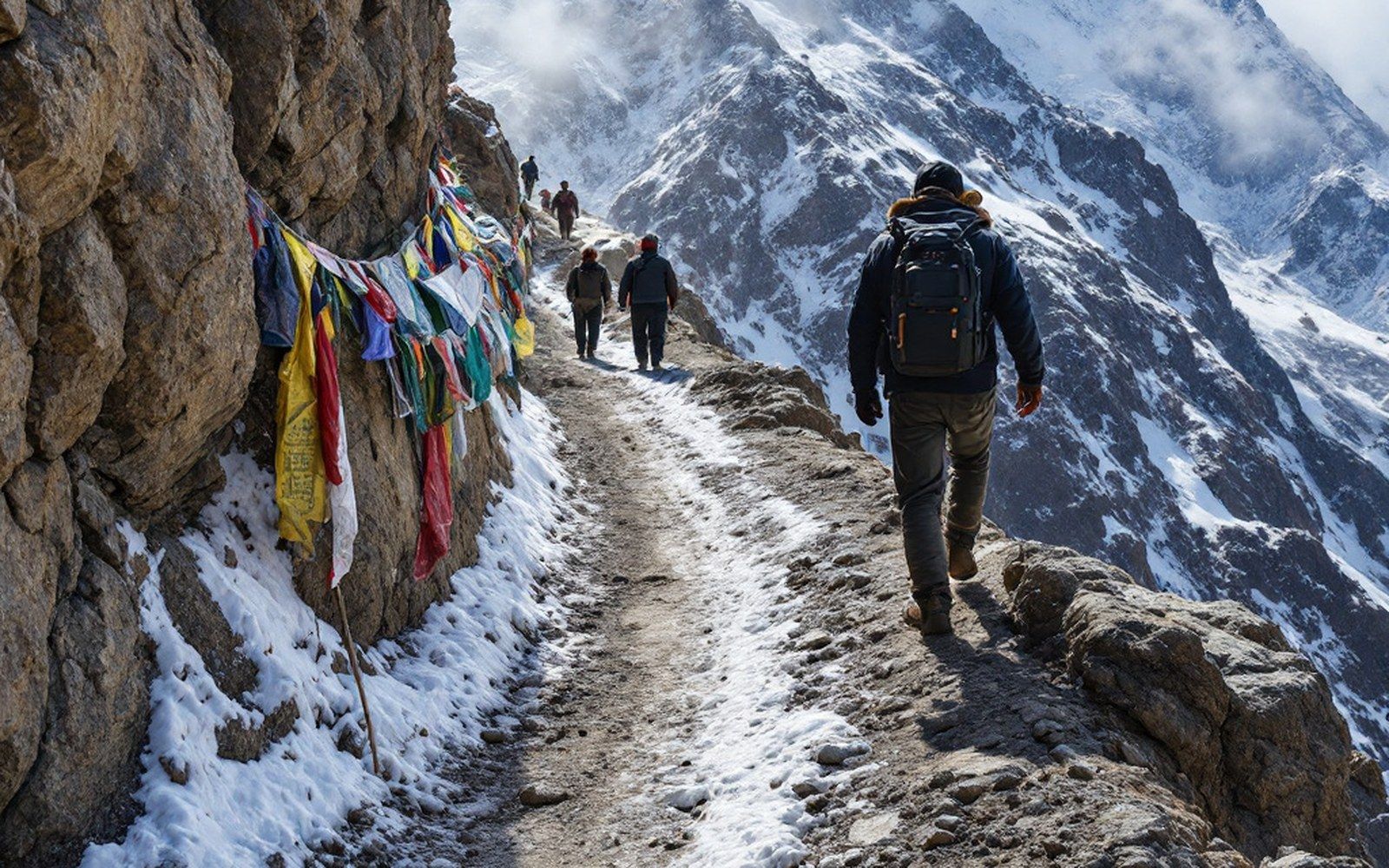
The plateau is bounded and divided by ranges, and the passes between them decided every route across it. Read the entryProTibet picture library
02Valley Floors and Why They Matter
The Yarlung Tsangpo valley, running east-west through central Tibet at roughly 3,600 metres, is the demographic spine of the plateau.
Lhasa sits in a tributary basin of the Kyichu River — itself a Tsangpo feeder — at about 3,650 metres. Shigatse occupies the confluence of the Nyang Chu and the Tsangpo, and Gyantse stands on the Nyang Chu roughly ninety kilometres upstream. These are not arbitrary positions: every major settlement follows the logic of a sheltered floor, a reliable water source, and a south-facing exposure long enough for a growing season of perhaps a hundred and twenty days.
The valley floors are alluvial and workable.
Silt carried down from glaciated headwaters has built up flat terraces that hold irrigation channels, and farmers here have grown barley — tsampa begins with this grain, roasted and ground — since at least the first millennium BCE according to archaeobotanical finds in the Yarlung district. The valley walls rise sharply on both sides, often in rammed earth or stone, and the buildings that occupy them — monasteries, dzongs, farmhouses — are part of the same material logic: earth from the floor, stone from the slope, timber hauled from lower elevations where wood grows.
Key elevations and distances
- Yarlung Tsangpo source elevation: ~4,560 m (near Manasarovar)
- Lhasa basin elevation: ~3,650 m
- Tsangpo length across the plateau: ~1,800 km
- Tsangpo Grand Canyon descent: >5,000 m over ~200 km — deepest river gorge on Earth
- Typical valley growing season: ~120 days for barley
Altitude still shapes everything even at valley level.
The air is thin enough that precipitation arrives mainly as intense summer monsoonal moisture from the south, while the western valleys stay drier year-round. The Tsangpo's lower gorges receive heavy rainfall; its upper reaches and the side valleys of Shigatse receive far less. This gradient — wet east, dry west — determines which slopes support forest, which support scrub, and which support nothing but the wind-cut grass that drokpa herders move their yaks across in summer.
03The River as Measure
The nineteenth-century Survey of India used river courses as the skeleton of its mapping effort.
Nain Singh Rawat, crossing the plateau in the 1860s and 1870s, fixed the Tsangpo's elevation and course with a boiling-point thermometer and prismatic compass, establishing that the great river flowing east through Tibet and the Brahmaputra arriving in Assam were the same body of water — a connection that had been debated in geography for decades. The rivers, in other words, were not only the arteries of Tibetan agriculture and settlement; they were the lines along which outside knowledge of the plateau's interior was eventually assembled, valley by valley, measured pace by measured pace.
The gorge country at the plateau's edge remains among the most topographically extreme terrain on the continent — the Yarlung Tsangpo Grand Canyon drops more than five thousand metres over roughly two hundred kilometres, a descent confirmed by modern survey as the deepest river gorge on Earth.
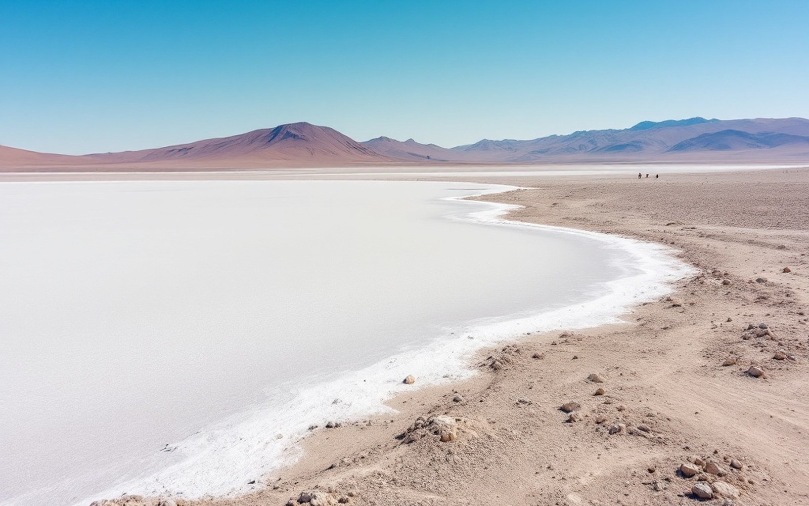
The northern plateau is a basin with no outlet, so its lakes are salt and its water goes nowhere. Read the entryProTibet picture library
River–settlement pairs
| Tsangpo / Shigatse | at confluence with Nyang Chu |
| Kyichu / Lhasa | tributary basin |
| Nyang Chu / Gyantse | ~90 km upstream from Shigatse |
| Brahmaputra / plains | the Tsangpo's continuation below the eastern gorge |
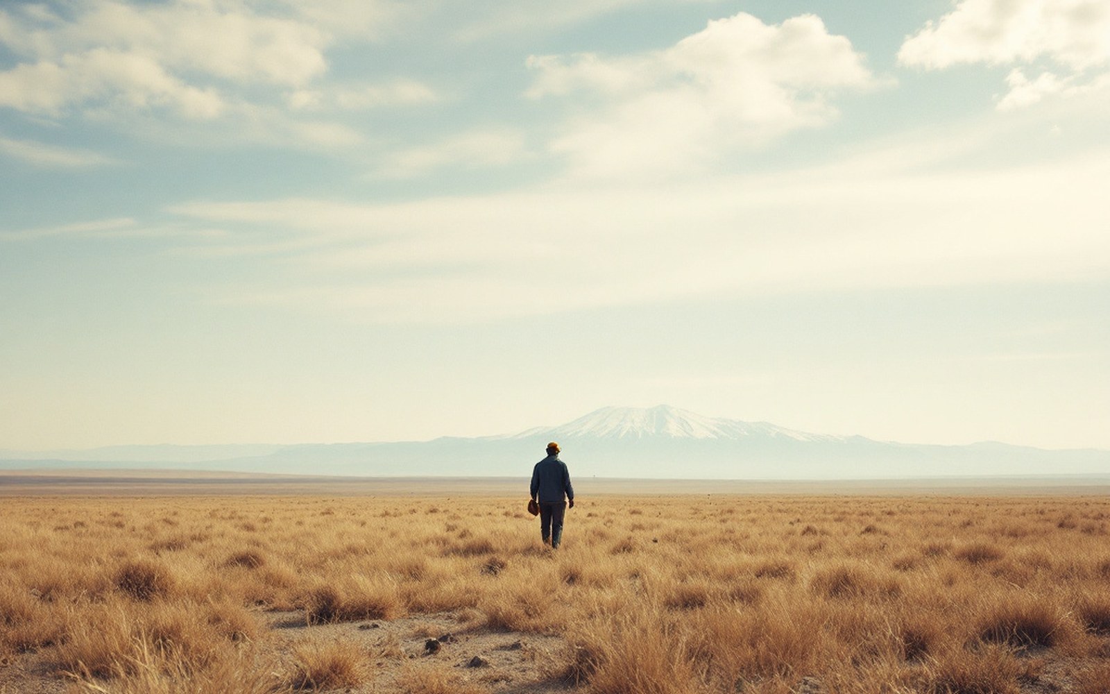
Above the barley line there is grass and nothing else, which is why the economy moved rather than settled.ProTibet picture library
Manasarovar at 30.65°N 81.45°E — the position the route surveys fixed, with the other places named across the site.
- A place an entry names — the pin opens that entry
- Graticule at 5° of longitude, 3° of latitude
- National outlines: China, India, Nepal, Bhutan