Lakes of the Chang Tang
Salt water trapped at altitude: why the northern plateau's lakes go nowhere, and what that silence has left behind.
The northern plateau is a basin with no outlet, so its lakes are salt and its water goes nowhere.
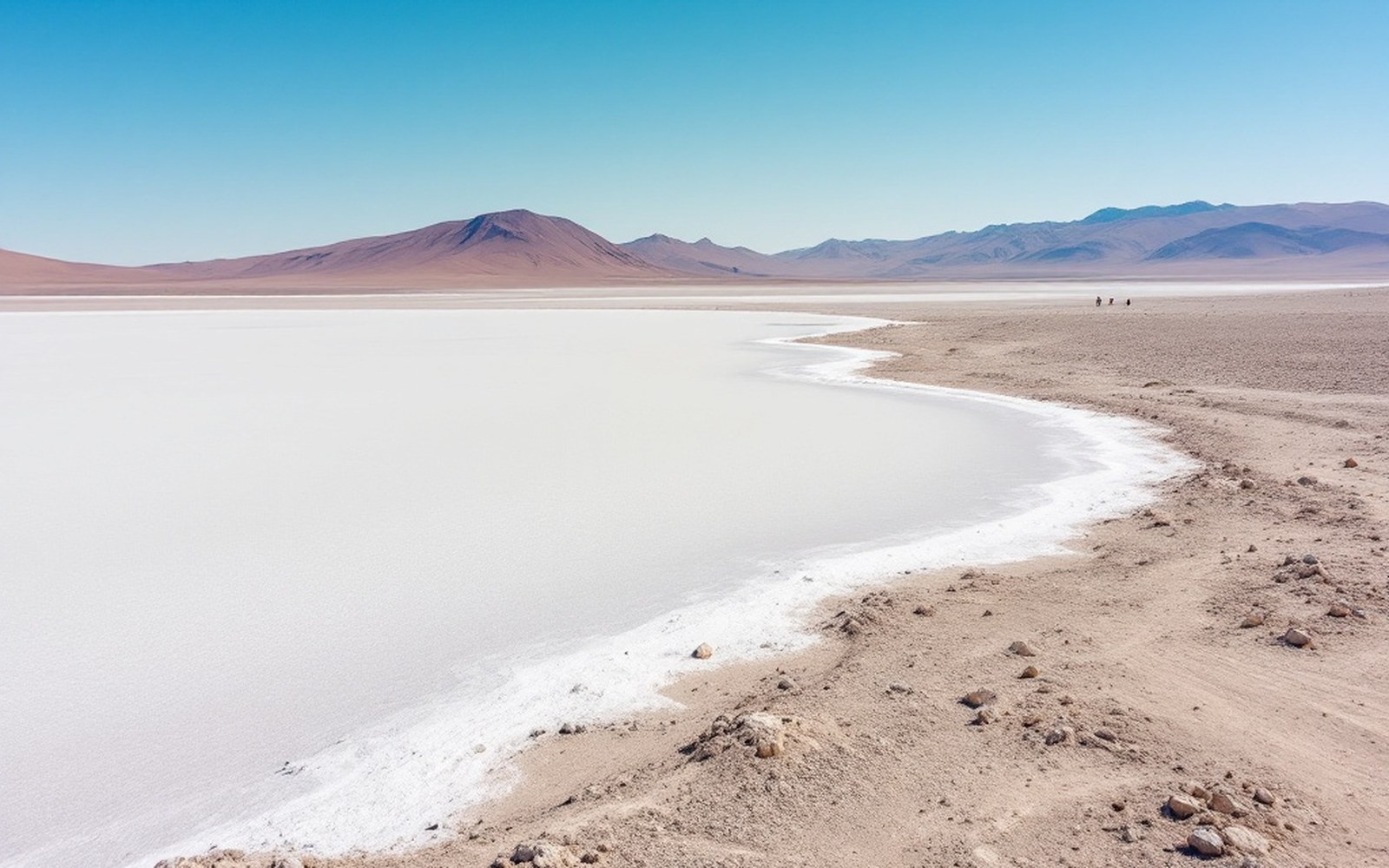
Lake Namtso elevation: c. 4,718 mProTibet picture library
01A Closed Basin at the Top of the World
The Chang Tang (c. 33°N 87°E) is one of the largest high-altitude plateaus on Earth — a vast, cold, internally drained basin occupying most of northern Tibet. No river from this interior reaches the sea. Meltwater and rain collect in hollows, evaporate under intense solar radiation, and leave their dissolved minerals behind. Repeat that process over geological time and you get what the Chang Tang has in abundance: hundreds of saline lakes, their surfaces white-rimmed with crust, their water undrinkable.
The physics is straightforward. In a closed catchment, water that enters as snow or rain has only one exit: evaporation. Salts dissolved from the surrounding rock have no exit at all. Concentrations rise steadily. Lake Namtso (30°42′N 90°33′E), at roughly 4,718 metres, is one of the largest of these terminal lakes — its waters brackish, its shores encrusted with sodium carbonate and halite. Lake Manasarovar, further west near the Kailash range, is a partial exception: tradition and some hydrological evidence hold that it occasionally overflows southward, keeping its salinity lower than its neighbours. The distinction mattered economically. Manasarovar's water was drinkable; the salt lakes to the north were harvested for mineral salt, which moved south along the trade routes described in the long history of salt and wool exchange across the plateau.
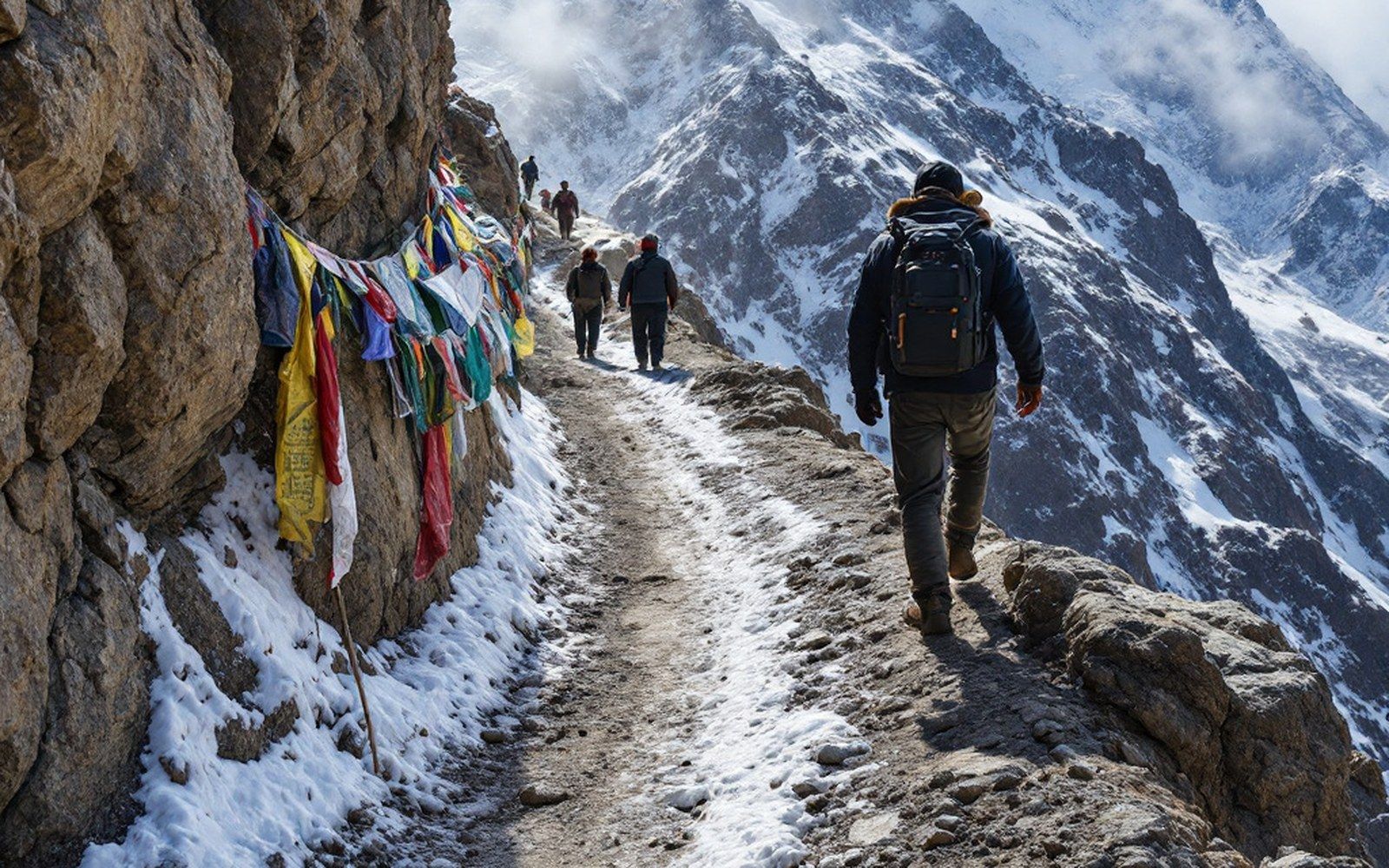
The plateau is bounded and divided by ranges, and the passes between them decided every route across it. Read the entryProTibet picture library
Salt, soda ash, and borax were all extracted from Chang Tang lake margins by drokpa (nomadic herders) who camped seasonally at the shore.
These evaporite deposits formed because the basin's bedrock — largely Cretaceous and Tertiary sediments with high mineral content — contributes dissolved ions to every stream that crosses it before the water disappears into a terminal lake. The result is a landscape of extraordinary chemical variety: some lakes run red with halophilic algae, others are turquoise from dissolved carbonates, others flat grey.
The Survey of India was among the first institutions to map this lake-studded interior systematically, largely through the work of trained Indian surveyors — the Pundits — in the 1860s and 1870s. Their altitude measurements taken by boiling-point thermometry established that the Chang Tang sits mostly above 4,500 metres, high enough that even summer temperatures rarely allow sustained evaporation of ice, keeping many lakes frozen for six or more months a year. Ice slows mineral concentration on a seasonal scale but changes nothing over centuries. The basin is sealed, and the lakes grow saltier still.
Key figures
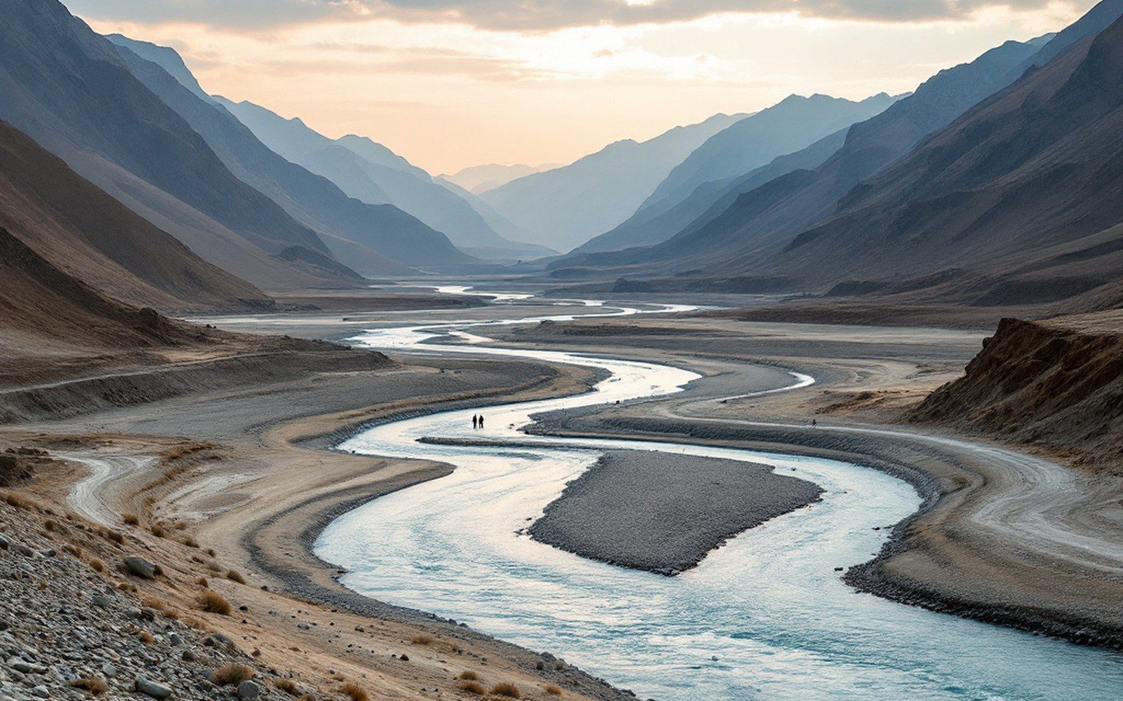
The major rivers of Asia rise here, and the inhabited valleys are the low warm exceptions to a cold high surface. Read the entryProTibet picture library
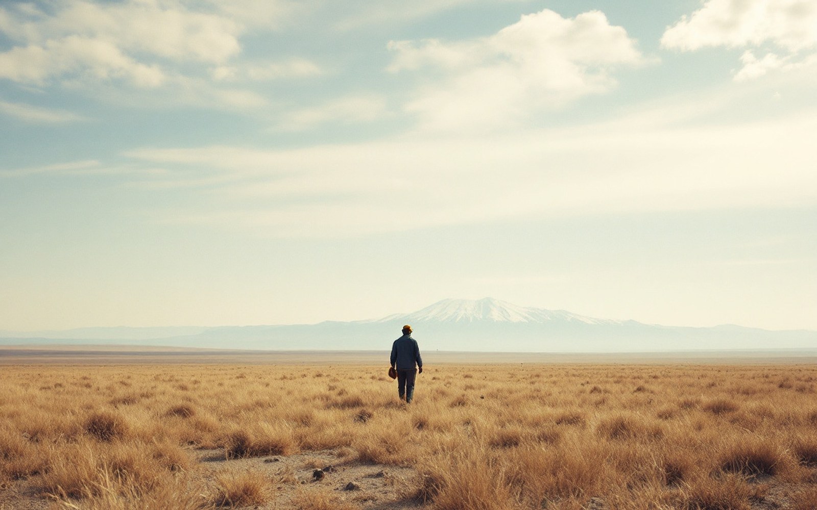
Above the barley line there is grass and nothing else, which is why the economy moved rather than settled.ProTibet picture library
Namtso at 30.70°N 90.55°E — the position the route surveys fixed, with the other places named across the site.
- A place an entry names — the pin opens that entry
- Graticule at 5° of longitude, 3° of latitude
- National outlines: China, India, Nepal, Bhutan