Salt and Wool
Two raw materials, two directions, one loop that fed the plateau for centuries.
Salt from the northern lakes moved south and grain moved back, on the backs of the same animals.
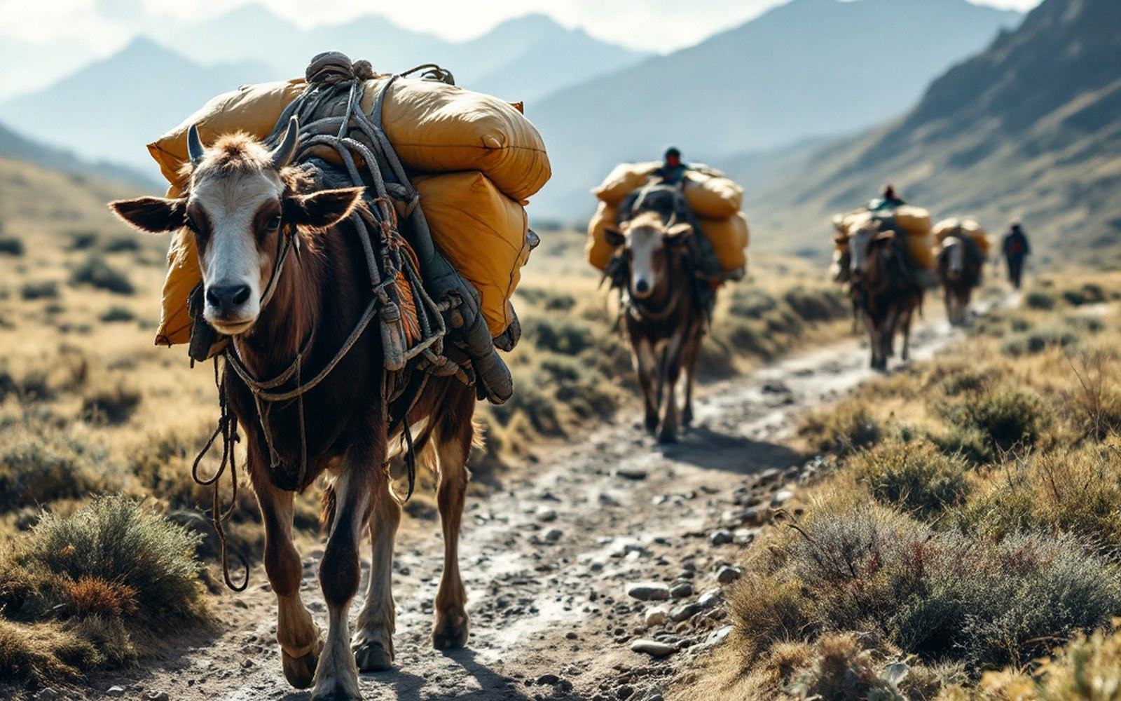
Salt: harvested from terminal lake crusts on the northern plateau; carried southProTibet picture library
01The Trade That Moved on Hooves
The northern plateau — the Chang Tang — has no farmland worth the name. What it has in abundance is salt. The great terminal lakes of the basin, including Namtso (30°42′N, 90°33′E) and the flats surrounding them, deposit crusts of sodium chloride and other minerals as their waters evaporate into the thin, dry air. For as long as the pastoral economy has existed, the drokpa — the nomadic herders of the high plateau — have harvested that salt and carried it south.
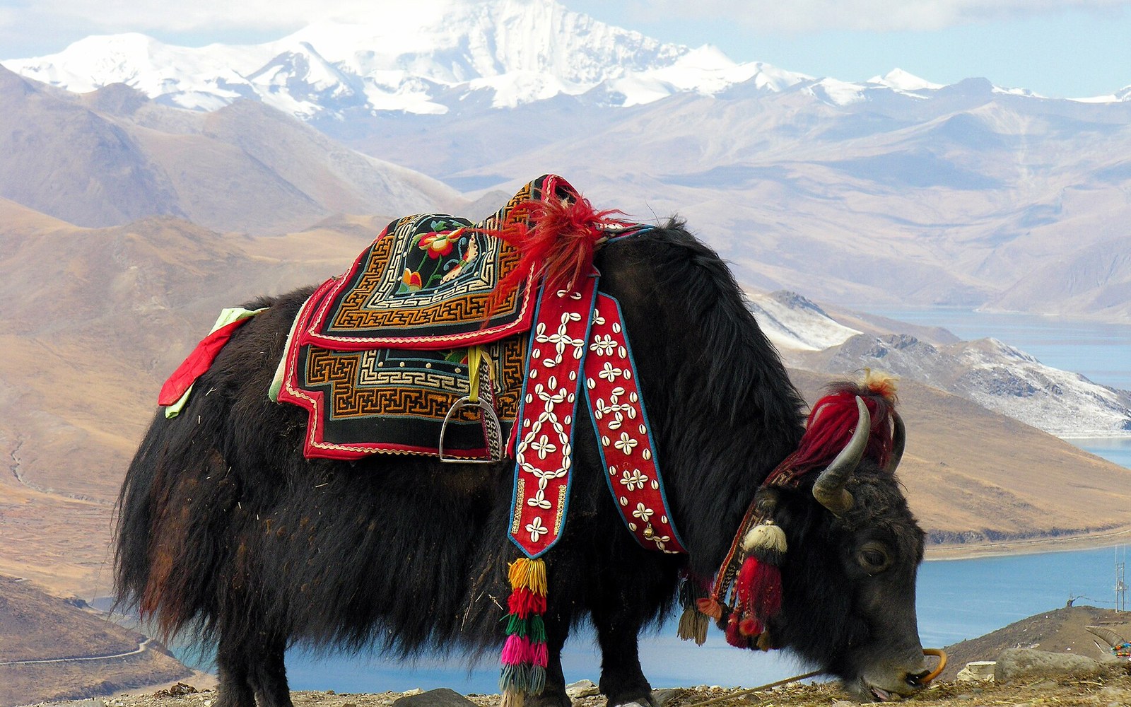
The animals doing the carrying were, overwhelmingly, yaks and sheep.
A loaded sheep carries only a few kilograms, but flocks of several hundred made the arithmetic work. Yaks managed heavier burdens over the same punishing terrain. The route ran from the salt flats down through the passes into the agricultural valleys of the Yarlung Tsangpo and its tributaries, where barley was grown, milled, and roasted into tsampa. Salt went south; grain came back north. Wool and livestock moved too, traded against cloth woven in the warmer valleys, and the whole system was self-correcting: each zone produced what the other could not.

Barley ripens higher than any other cereal, and the altitude at which it stops is the altitude at which settled farming stops. Read the entryProTibet picture library
The exchange was not barter in any simple sense.
Established rates and long-term relationships between pastoral and farming households governed it. A certain weight of salt bought a certain volume of grain, proportions that shifted slowly over generations and were remembered through repeated seasonal contact rather than written contract. The Survey of India pundits who crossed the plateau in the 1860s and 1870s noted active salt-carrying caravans, and their route records confirm just how deeply embedded this movement was in the landscape.
Wool added a second thread. The coarse outer fleece of the plateau sheep fed weaving workshops further south and west, while the fine undercoat of the domesticated yak — softer than the outer hair — went into woven cloth prized far beyond the plateau itself. Gyantse (28°55′N, 89°36′E) became a well-documented node in this textile trade, its workshops processing wool that had begun its journey on the animals of the Chang Tang. Salt preserved the food; wool clothed the people; the caravan routes between the barley-growing valleys and the salt lakes stitched the plateau's two ecological zones into a single working economy.
Key exchange commodities
| Salt | harvested from terminal lake crusts on the northern plateau; carried south |
| Tsampa (roasted barley flour) | primary return cargo moving north from the agricultural valleys |
| Wool | coarse sheep fleece and fine yak undercoat; moved to weaving centres such as Gyantse |

Roasted barley flour keeps, needs no cooking and can be eaten anywhere, which is why it is the staple rather than bread. Read the entryProTibet picture library
Coordinates for mapping
| Lake Namtso | 30°42′N, 90°33′E (major salt-lake source) |
| Yarlung Tsangpo valley (agricultural destination) | broadly 29°N, 87–92°E |
| Gyantse (wool-trade node) | 28°55′N, 89°36′E |
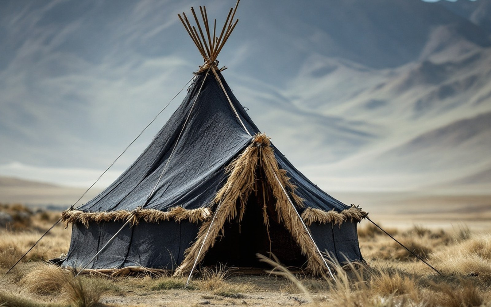
Yak-hair cloth swells when wet and closes its own weave, so a loose fabric becomes a rainproof roof.ProTibet picture library