All twenty-four entries
Tibet as a place: the plateau, how people have lived on it, and how it came to be recorded. Each entry is one thing altitude decided; this page lists all of them, and the map fixes the places they name.
- A place an entry names — the pin opens that entry
- Graticule at 5° of longitude, 3° of latitude
- National outlines: China, India, Nepal, Bhutan
01The Plateau
Section pageThe ground everything else follows from.
-
01.1
Ranges and Passes
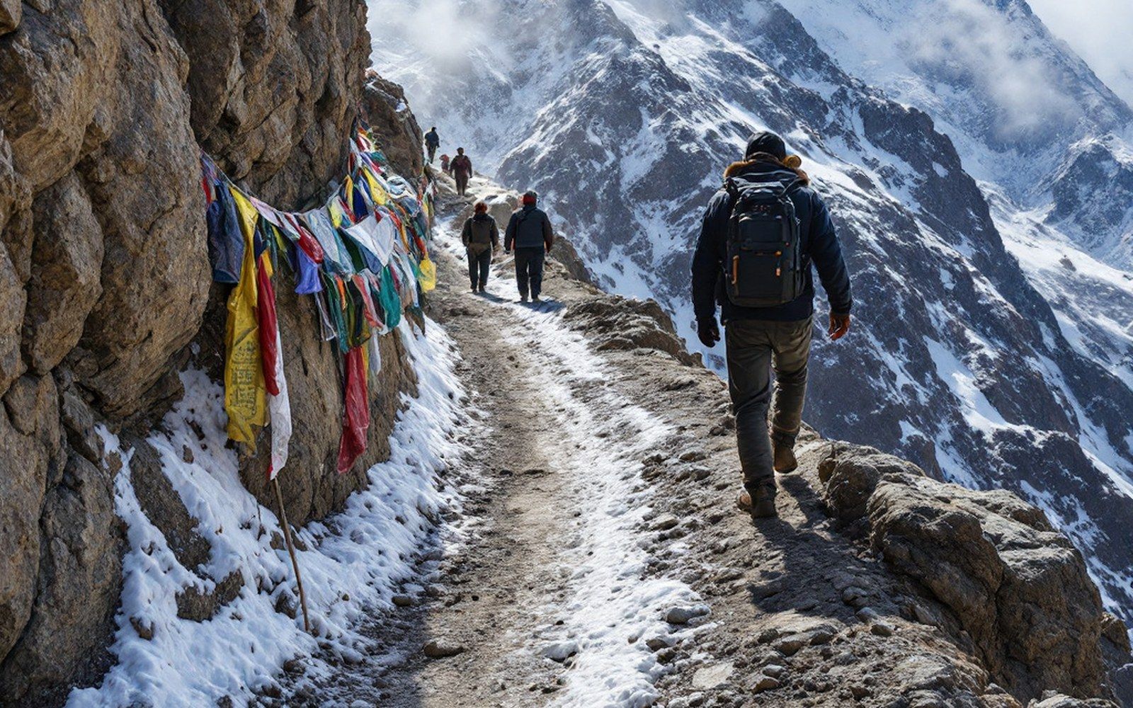
The plateau is bounded and divided by ranges, and the passes between them decided every route across it.
-
01.2
Valleys and Rivers
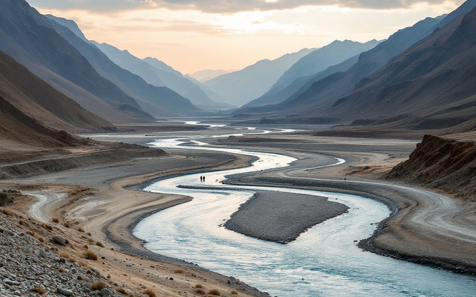
The major rivers of Asia rise here, and the inhabited valleys are the low warm exceptions to a cold high surface.
-
01.3
Lakes of the Chang Tang
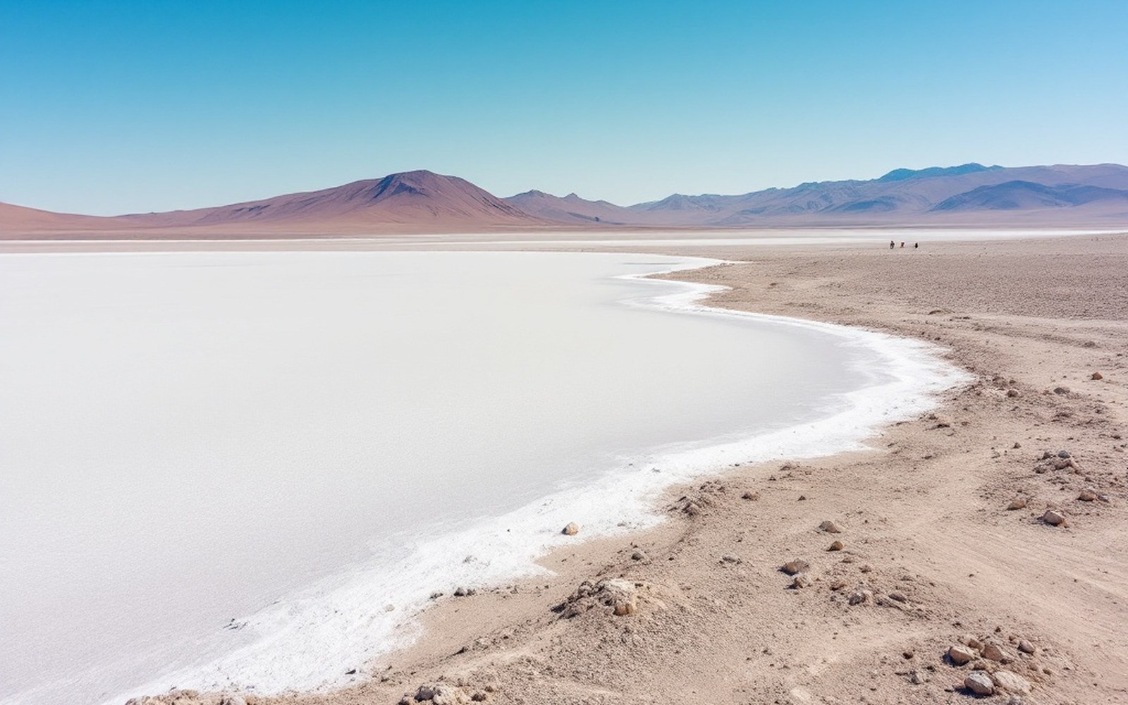
The northern plateau is a basin with no outlet, so its lakes are salt and its water goes nowhere.
02Barley and Yak
Section pageWhat can be grown and what can carry it.
-
02.1
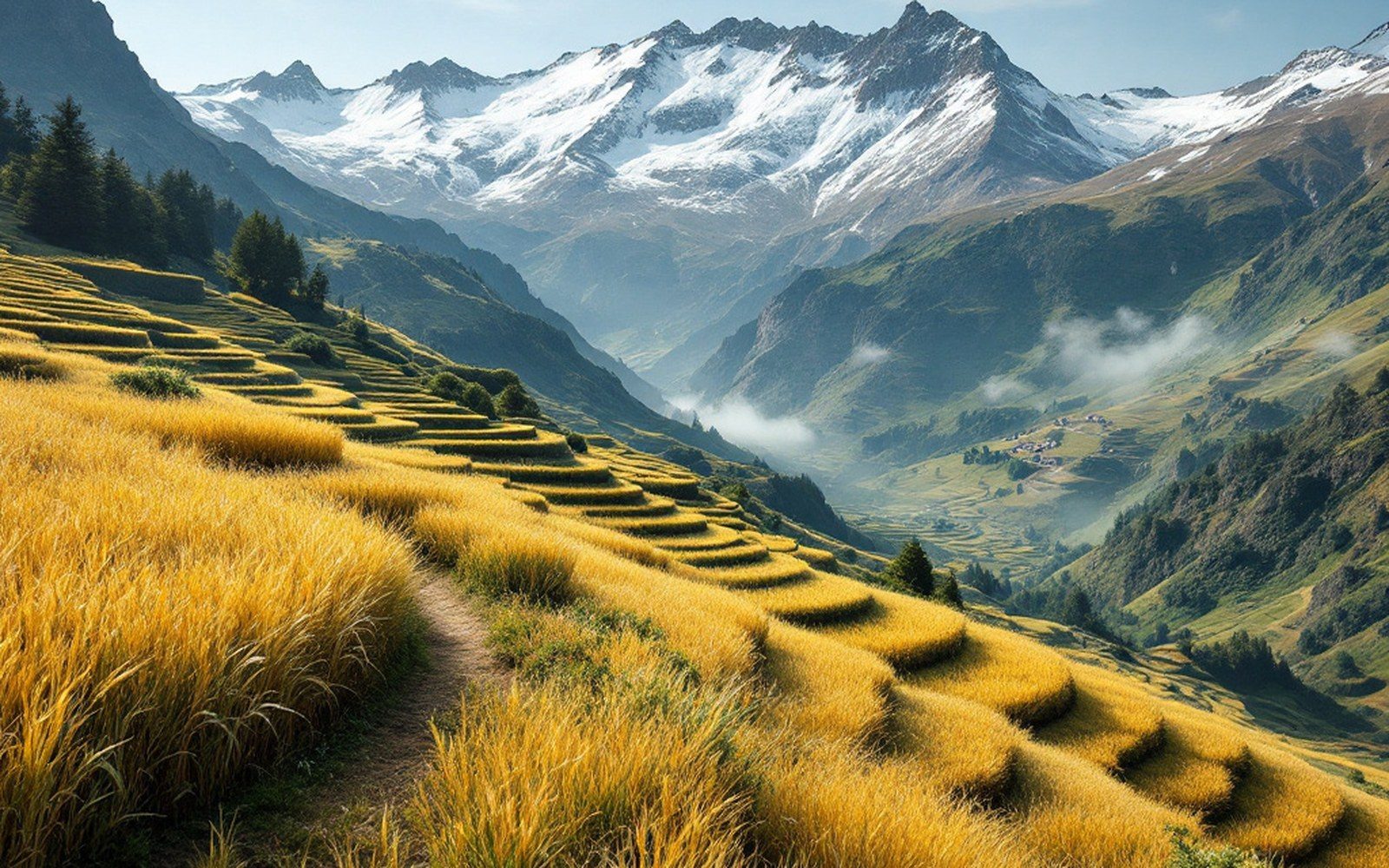
The Barley Line
Barley ripens higher than any other cereal, and the altitude at which it stops is the altitude at which settled farming stops.
-
02.2
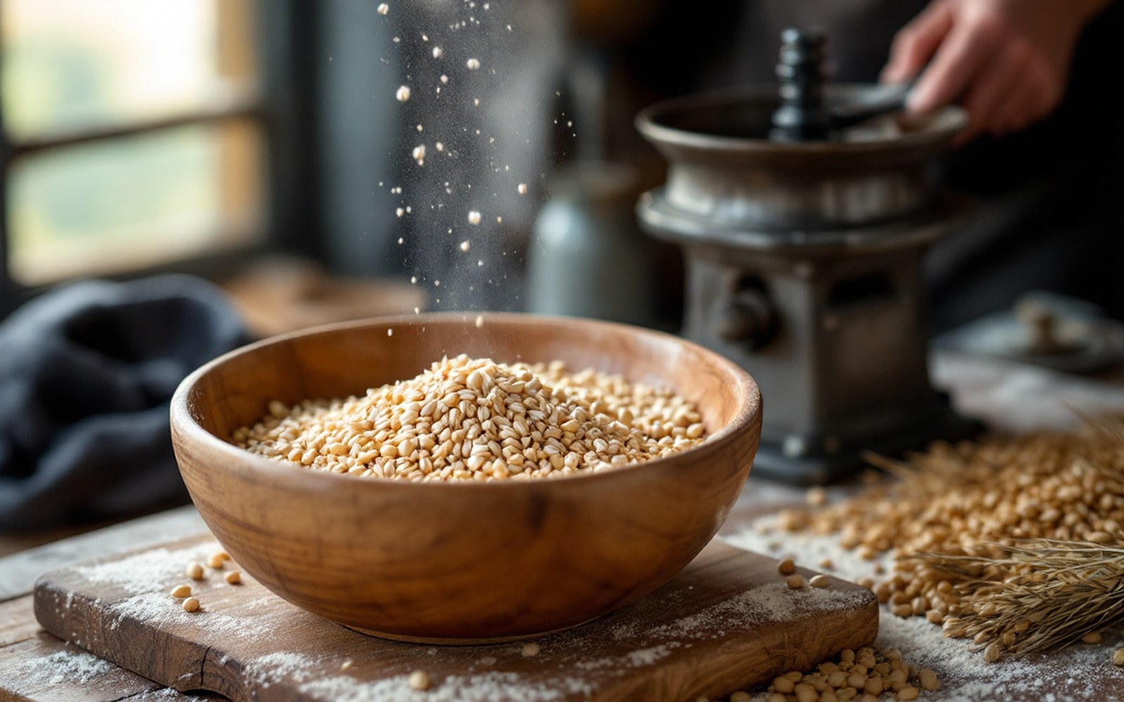
Tsampa
Roasted barley flour keeps, needs no cooking and can be eaten anywhere, which is why it is the staple rather than bread.
-
02.3
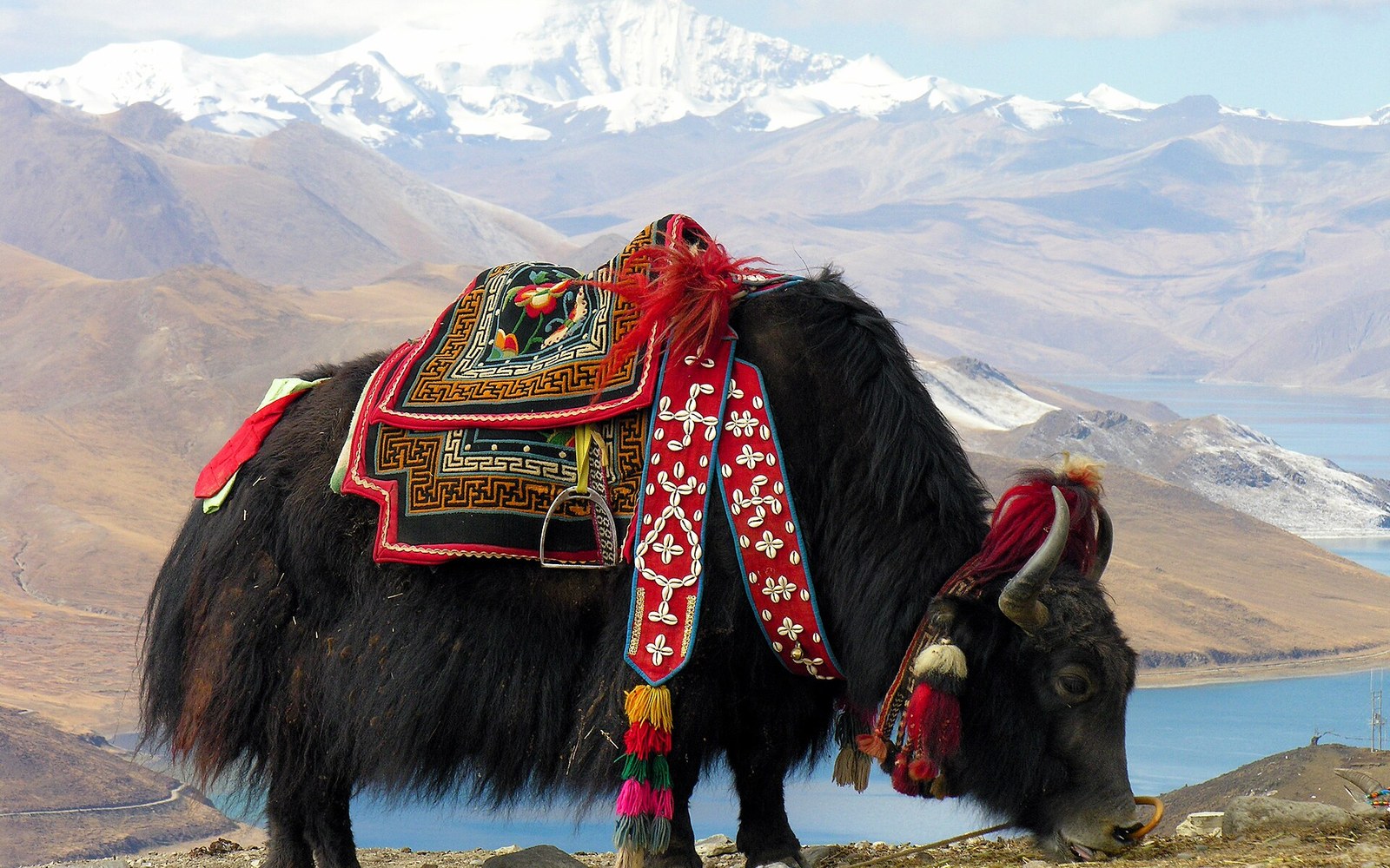
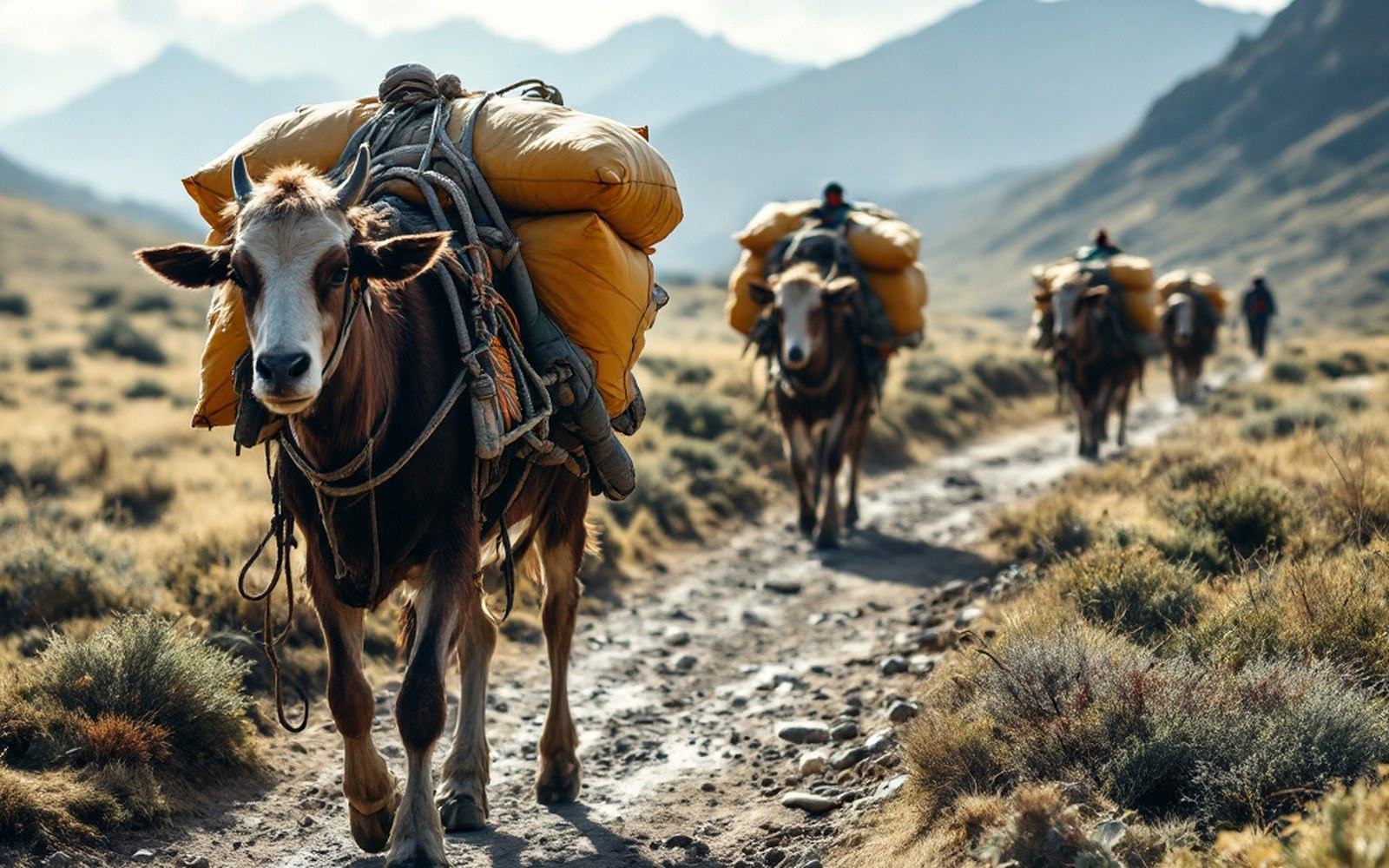
The Yak
Transport, wool, milk, hair for tents and dung for fuel in a place with no wood — the whole economy rests on one animal.
-
02.4
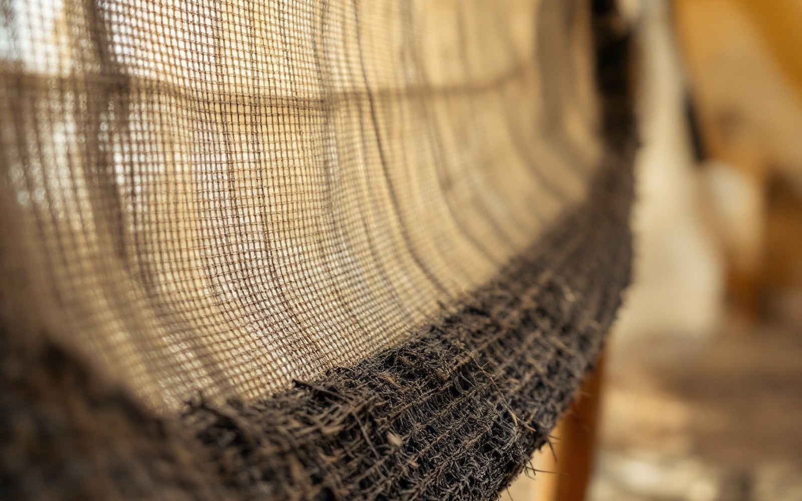
Black Tents
Woven from yak hair, the cloth swells when wet and closes its own weave, so a loose fabric becomes a rainproof roof.
-
02.5
Salt and Wool
Salt from the northern lakes moved south and grain moved back, on the backs of the same animals.
03Earth and Stone
Section pageBuilding where there is little timber and less rain.
-
03.1
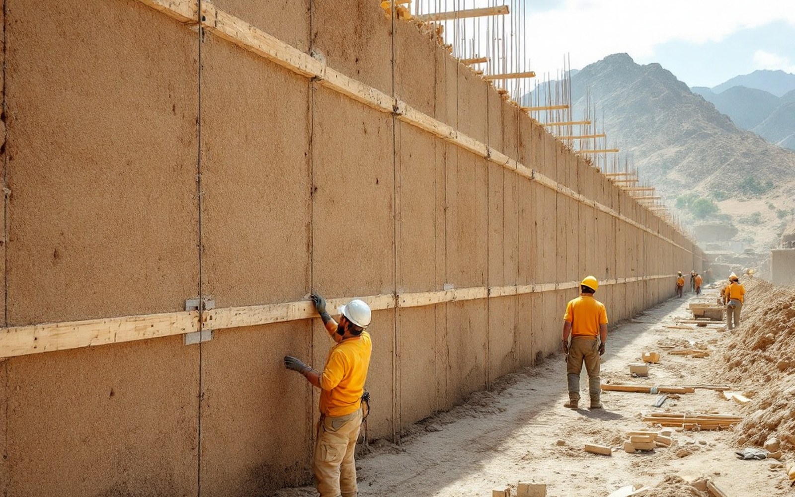
Rammed Earth
Damp earth compacted in shuttered lifts makes a wall that is cheap, thick, and warm in a place where fuel is scarce.
-
03.2
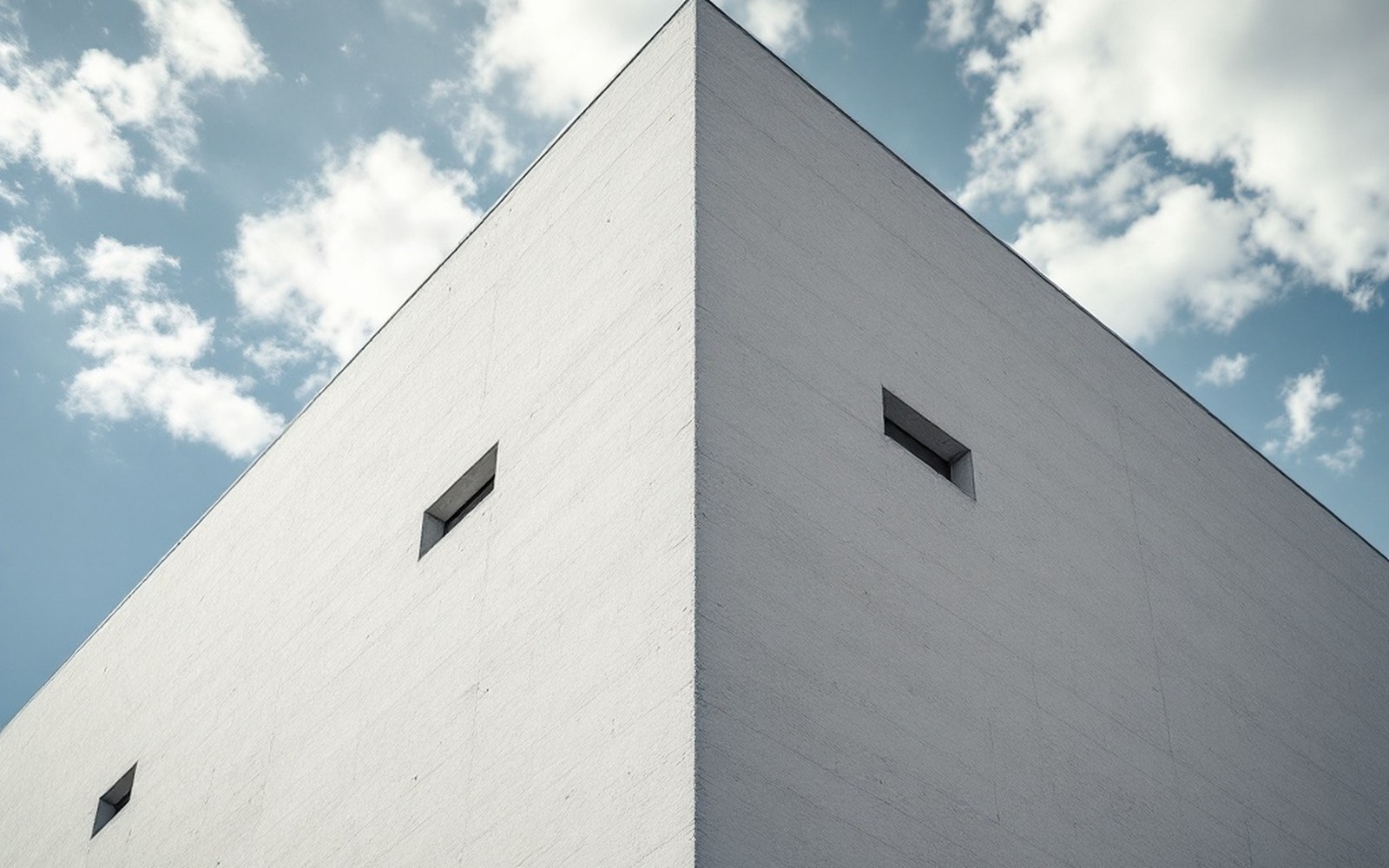
Battered Walls
Walls that lean inward as they rise are more stable and shed weather better, and the batter is the single most recognisable thing about the architecture.
-
03.3
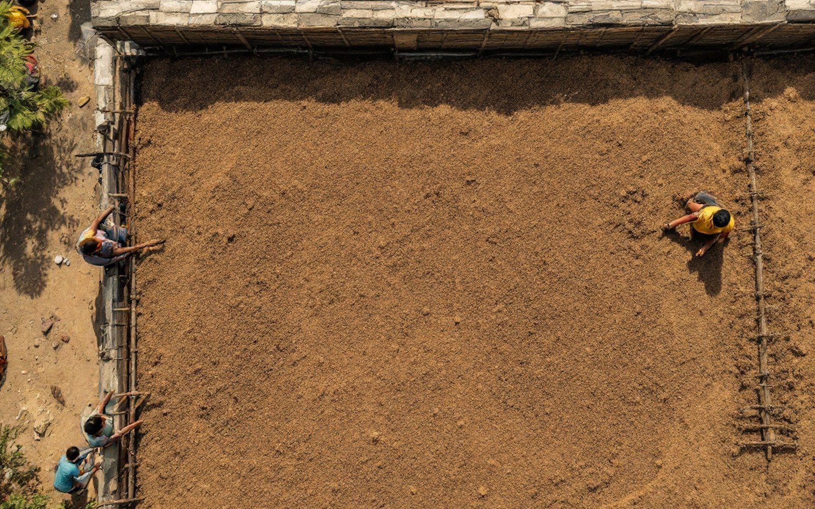
Roofs and Timber
Flat roofs work where it barely rains, and timber is rare enough that beams are reused across generations of building.
-
03.4
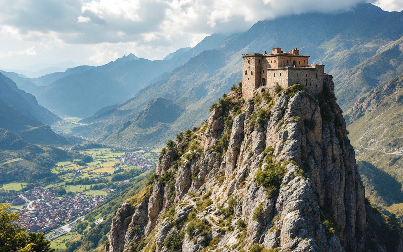
Towers and Dzongs
The fortified building on a spur is a building type, sited for command of a valley rather than for comfort.
04Pigment and Cloth
Section pageColour, cloth and the measured grid.
-
04.1
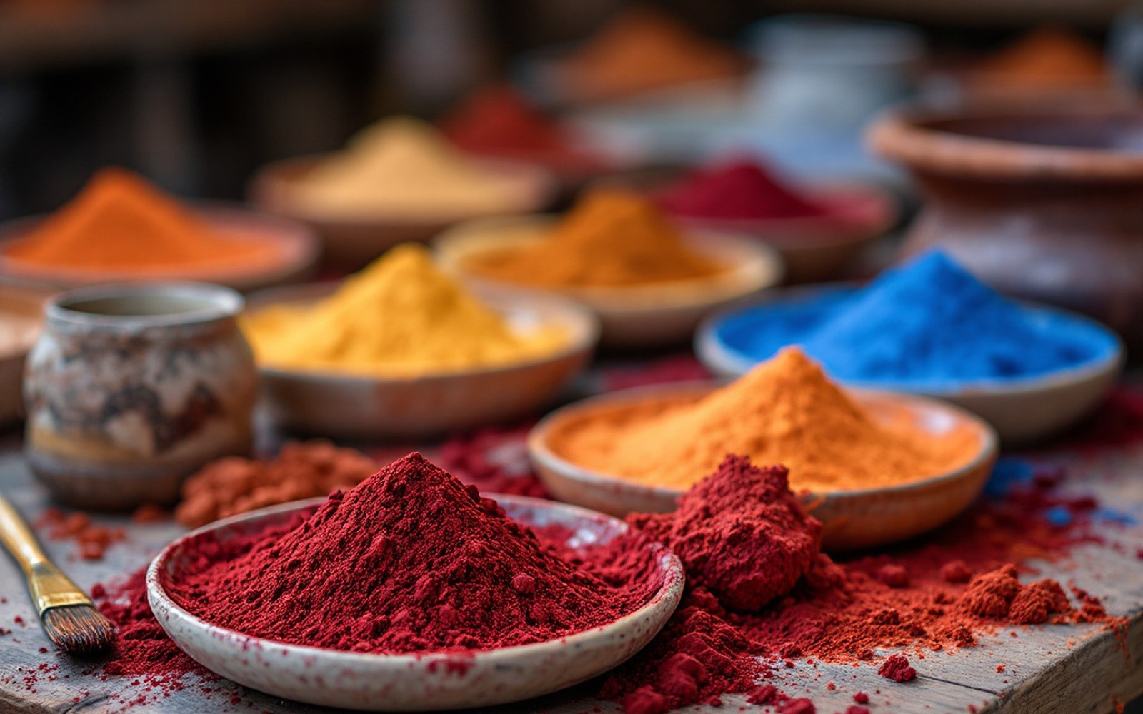
Mineral Pigments
Ground azurite, malachite, cinnabar and orpiment, bound in animal glue — the colours are stones before they are paint.
-
04.2
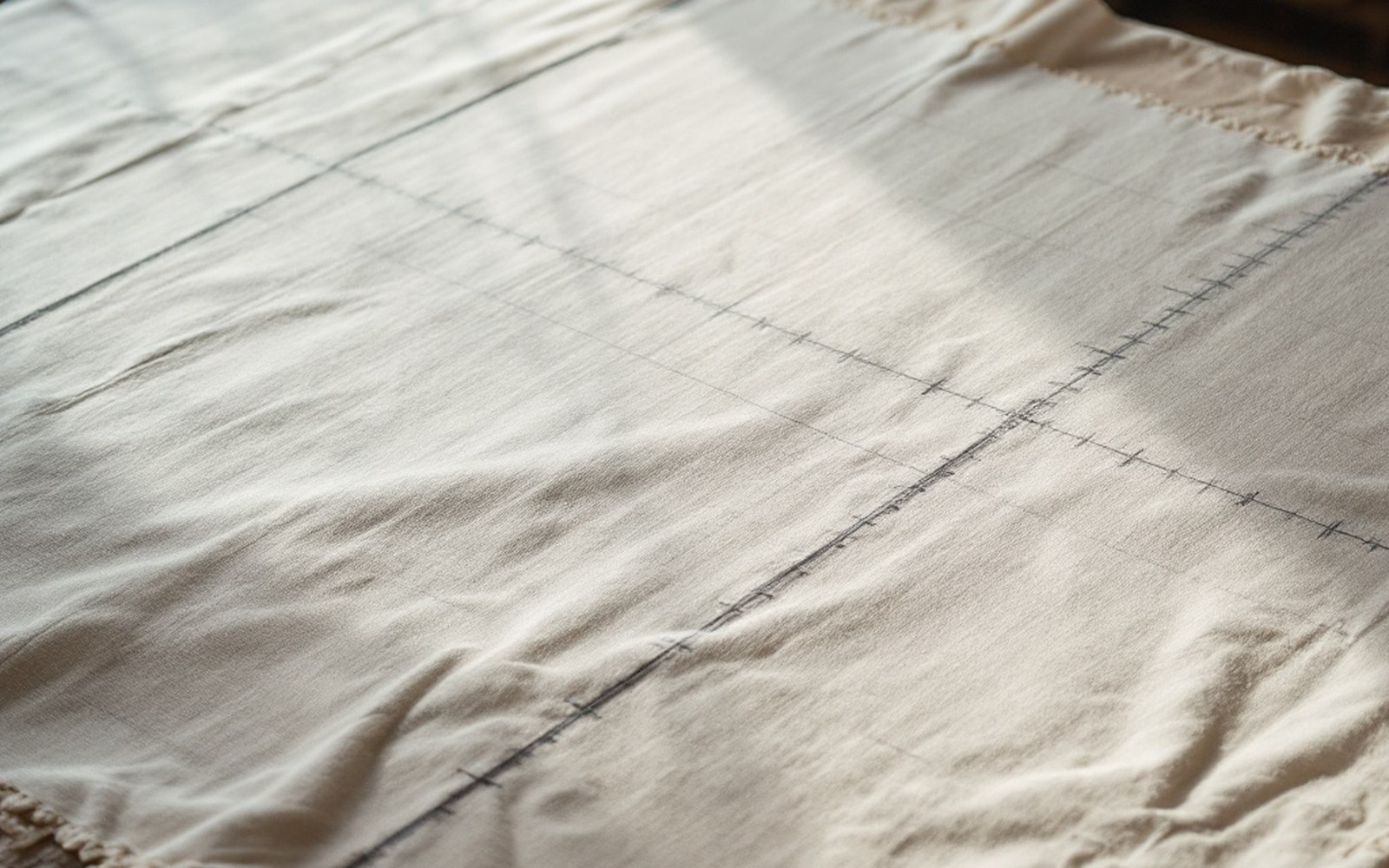
The Measured Grid
A painted figure is set out on a ruled proportional grid before any colour is laid, so the drawing is a measurement rather than a sketch.
-
04.3
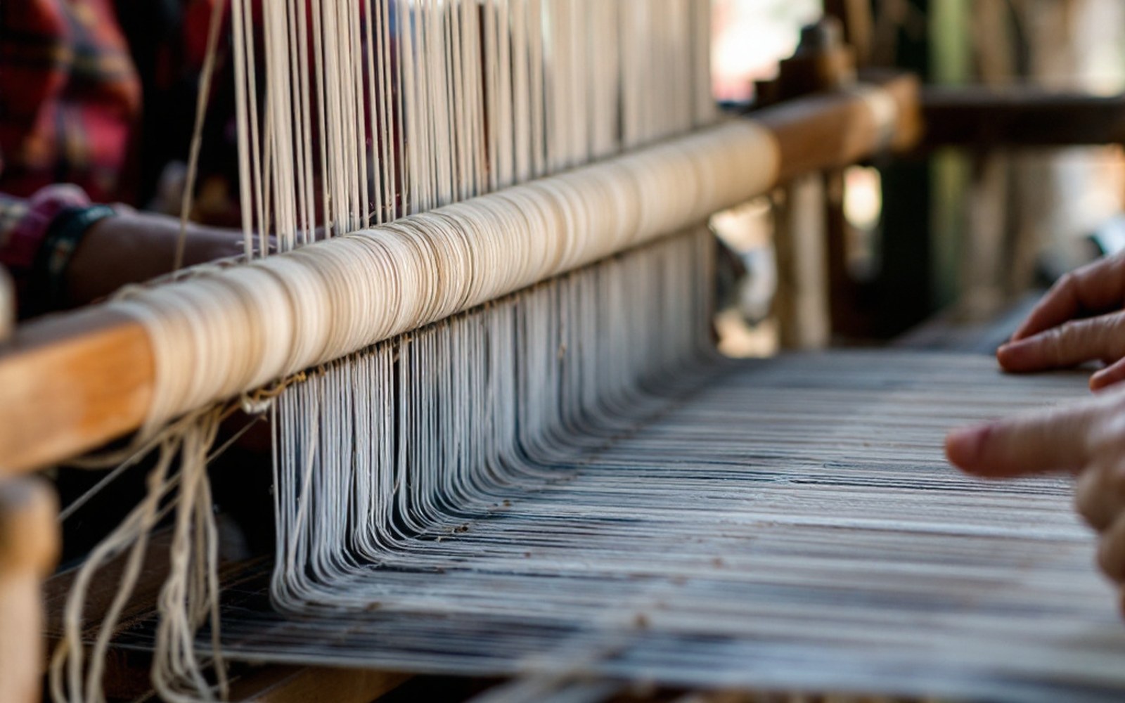
Weaving
Backstrap and frame looms produce narrow cloth that is joined in strips, which is why the patterning runs the way it does.
-
04.4
Woodblock and Paper
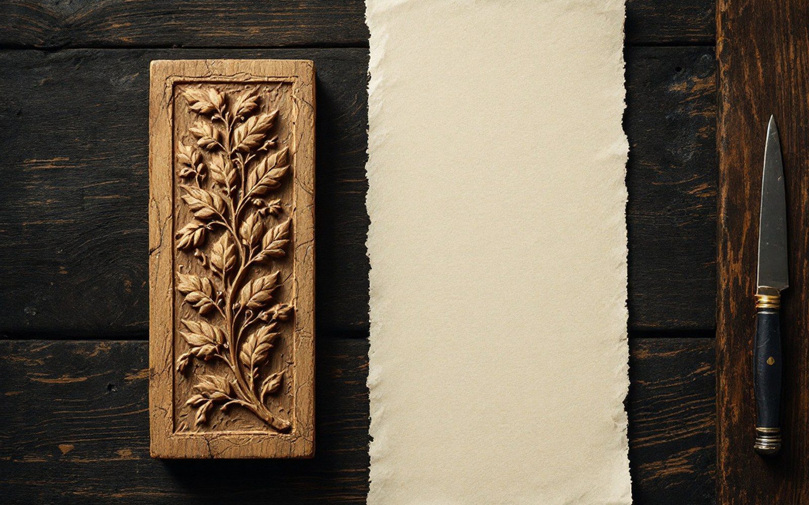
Text was printed from carved blocks onto long loose leaves, one block to a page, and the blocks were kept.
05Writing
Section pageA script, and what survived on paper.
-
05.1
The Script
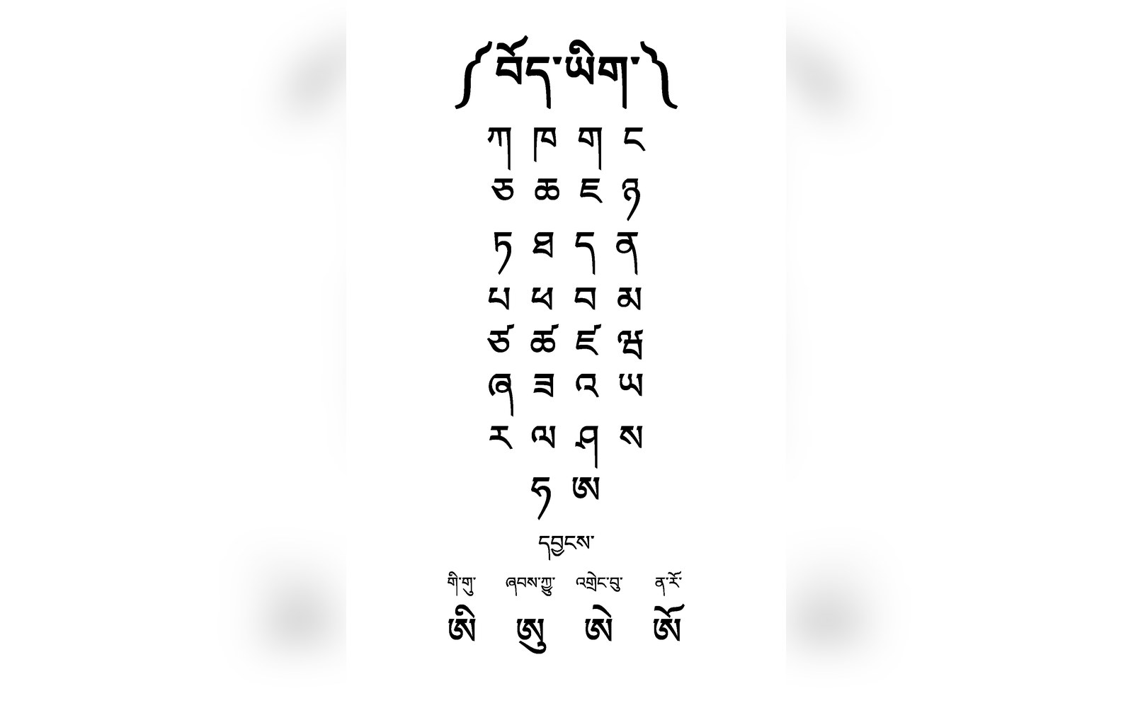
The writing system was devised in the seventh century under Songtsen Gampo, traditionally credited to Thonmi Sambhota, and was built for a language it fitted better then than now.
-
05.2
Cave 17 at Dunhuang
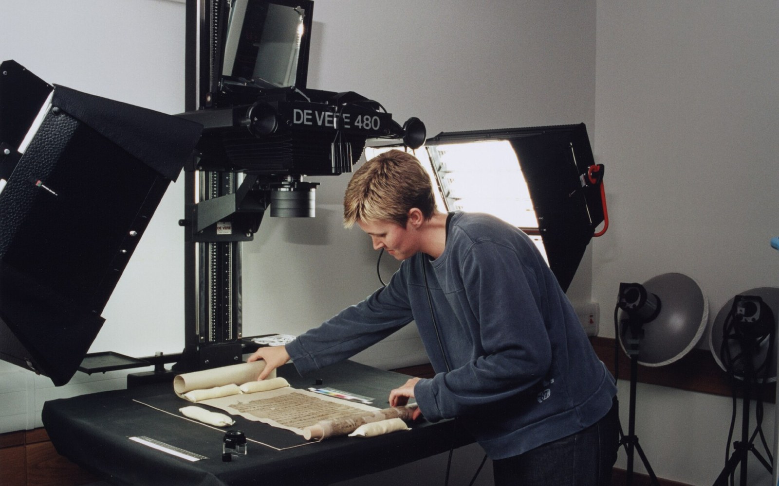
A sealed chamber held tens of thousands of manuscripts, and the Tibetan among them preserves a period almost nothing else survives from.
-
05.3
Old Tibetan
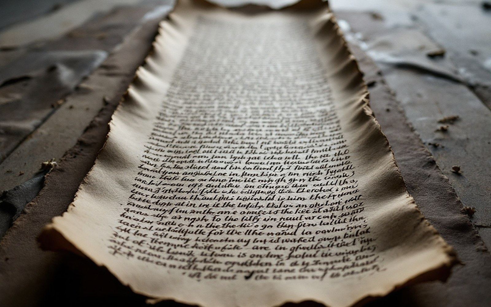
The language of those documents differs from the modern written form in spelling and grammar, which is how the manuscripts are dated.
-
05.4
Paper and Ink
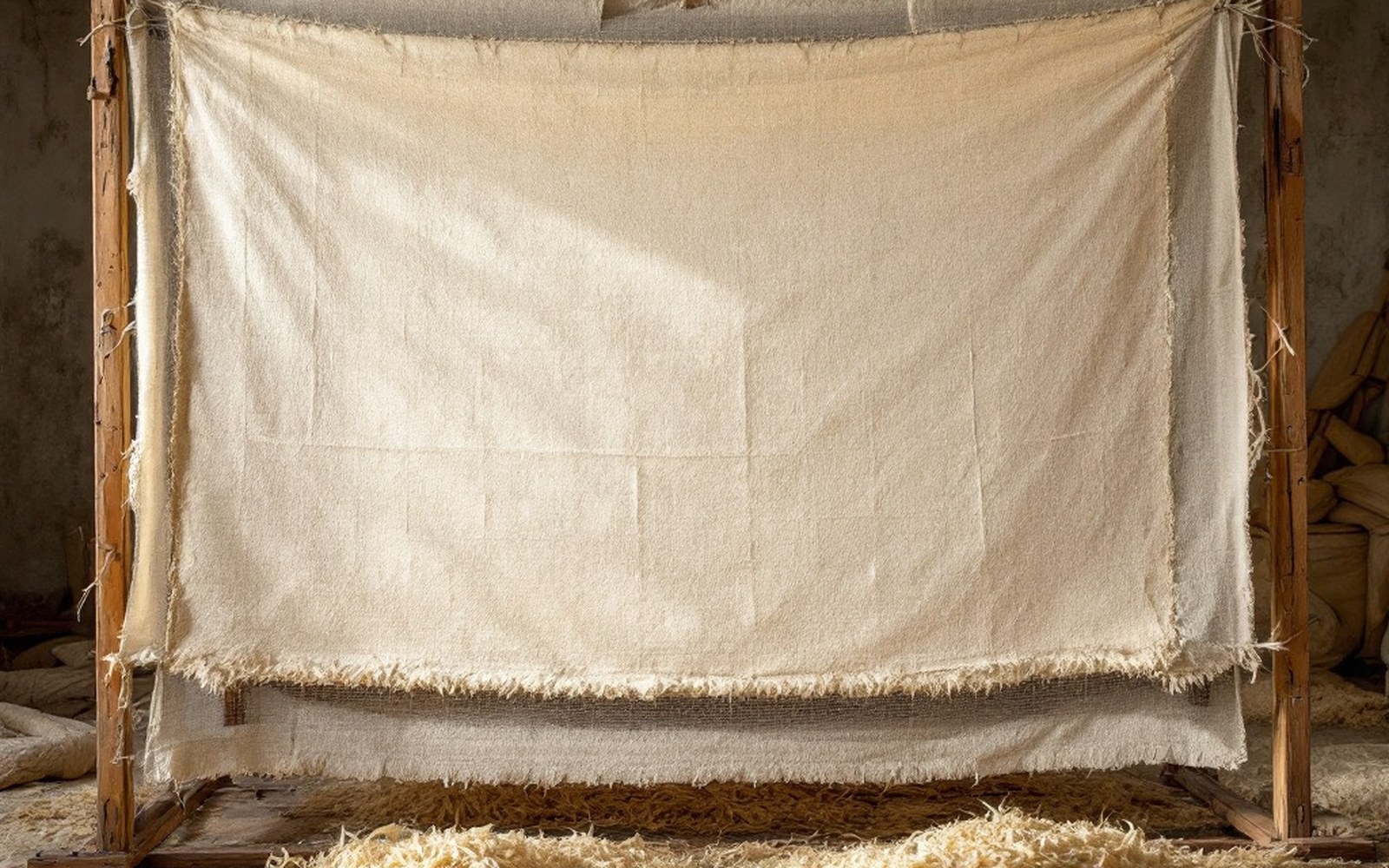
Paper made from a toxic shrub root resists insects, which is a large part of why so much survived.
06Mapping
Section pageHow the country got onto a map.
-
06.1
The Pundits
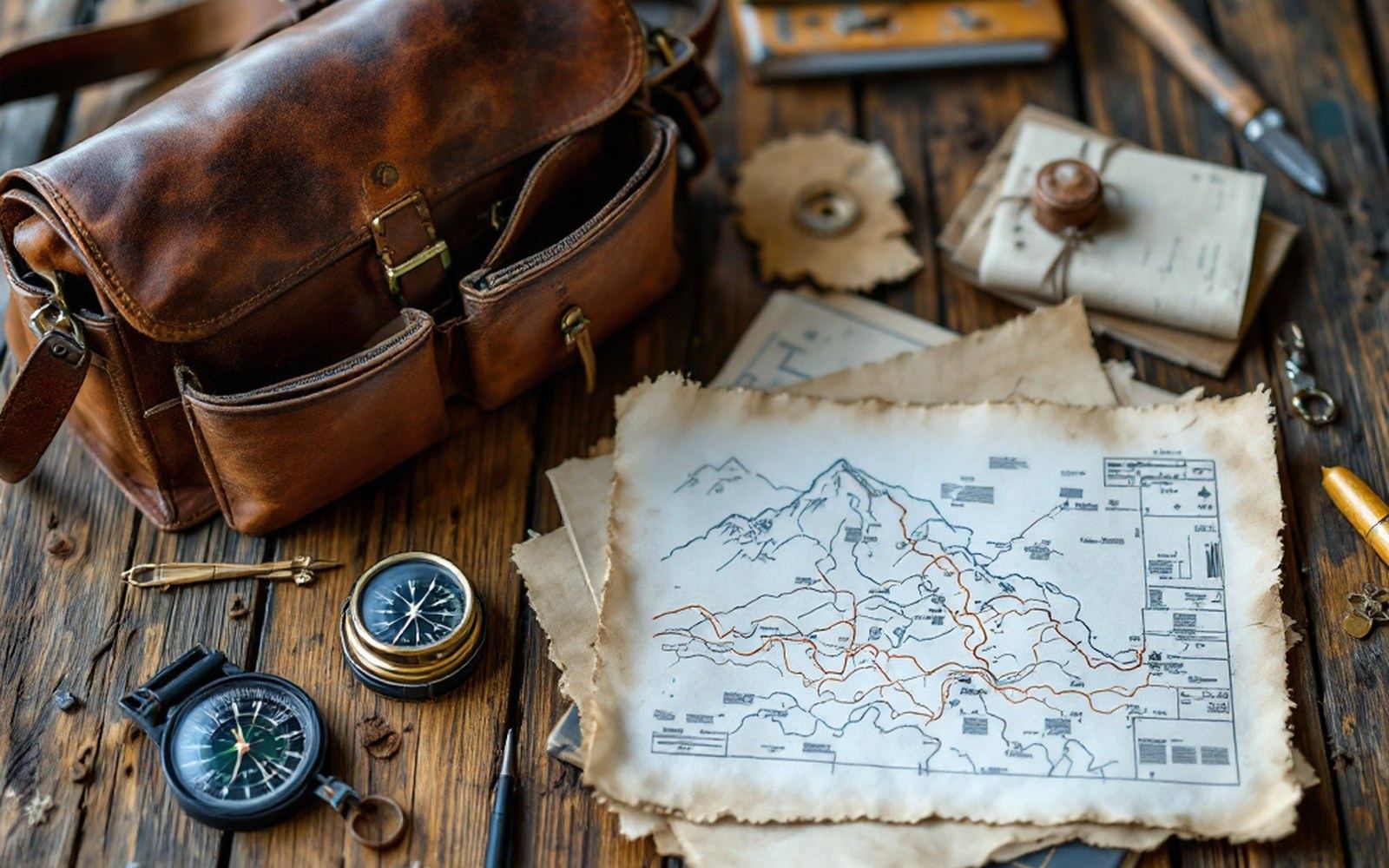
The Survey of India trained Indian surveyors to cross the plateau on foot and measure it while they walked, because they were forbidden to be there.
-
06.2
Nain Singh Rawat
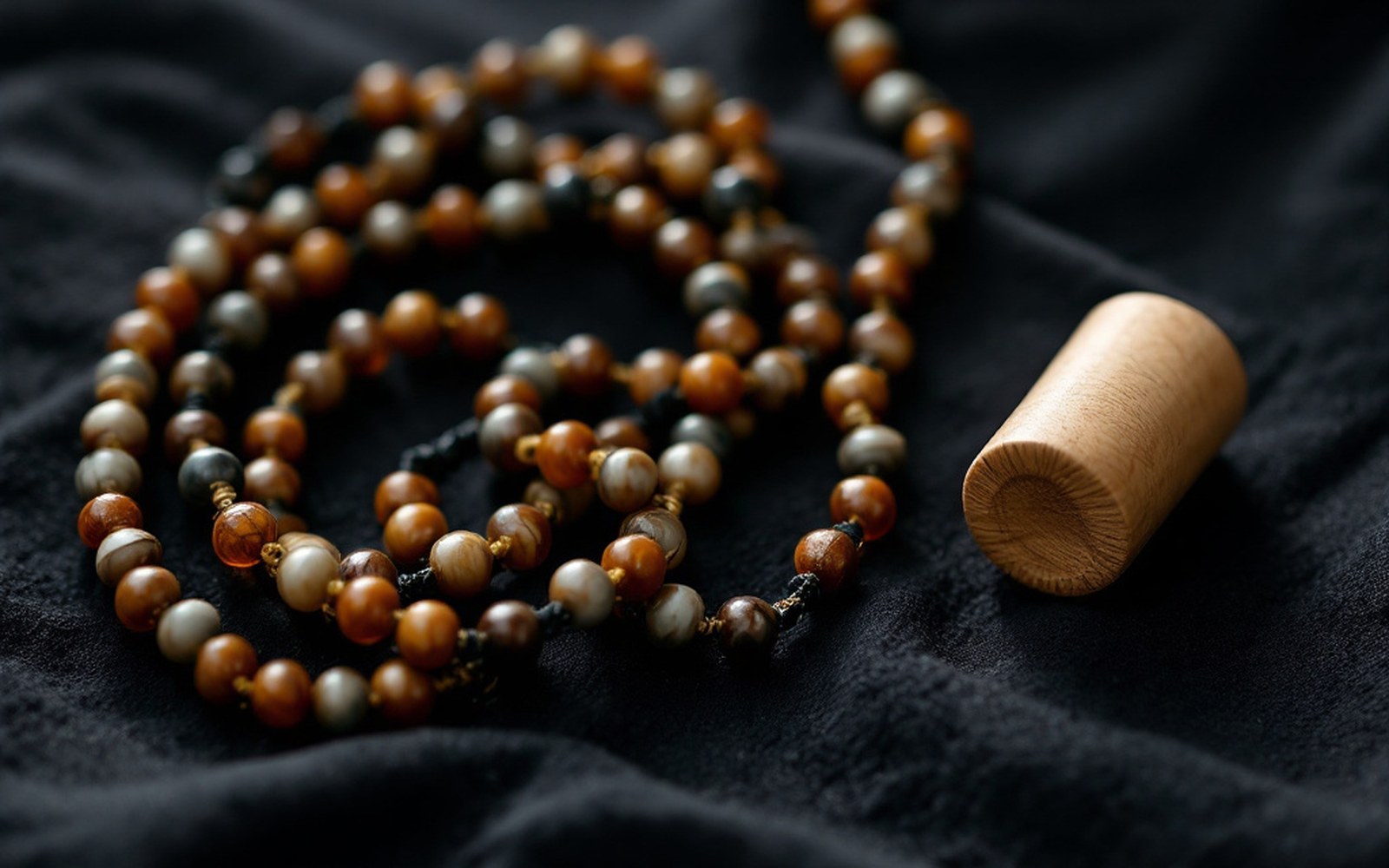
He walked measured paces counted on a rosary shortened to a hundred beads, and hid his notes inside a prayer wheel.
-
06.3
Instruments
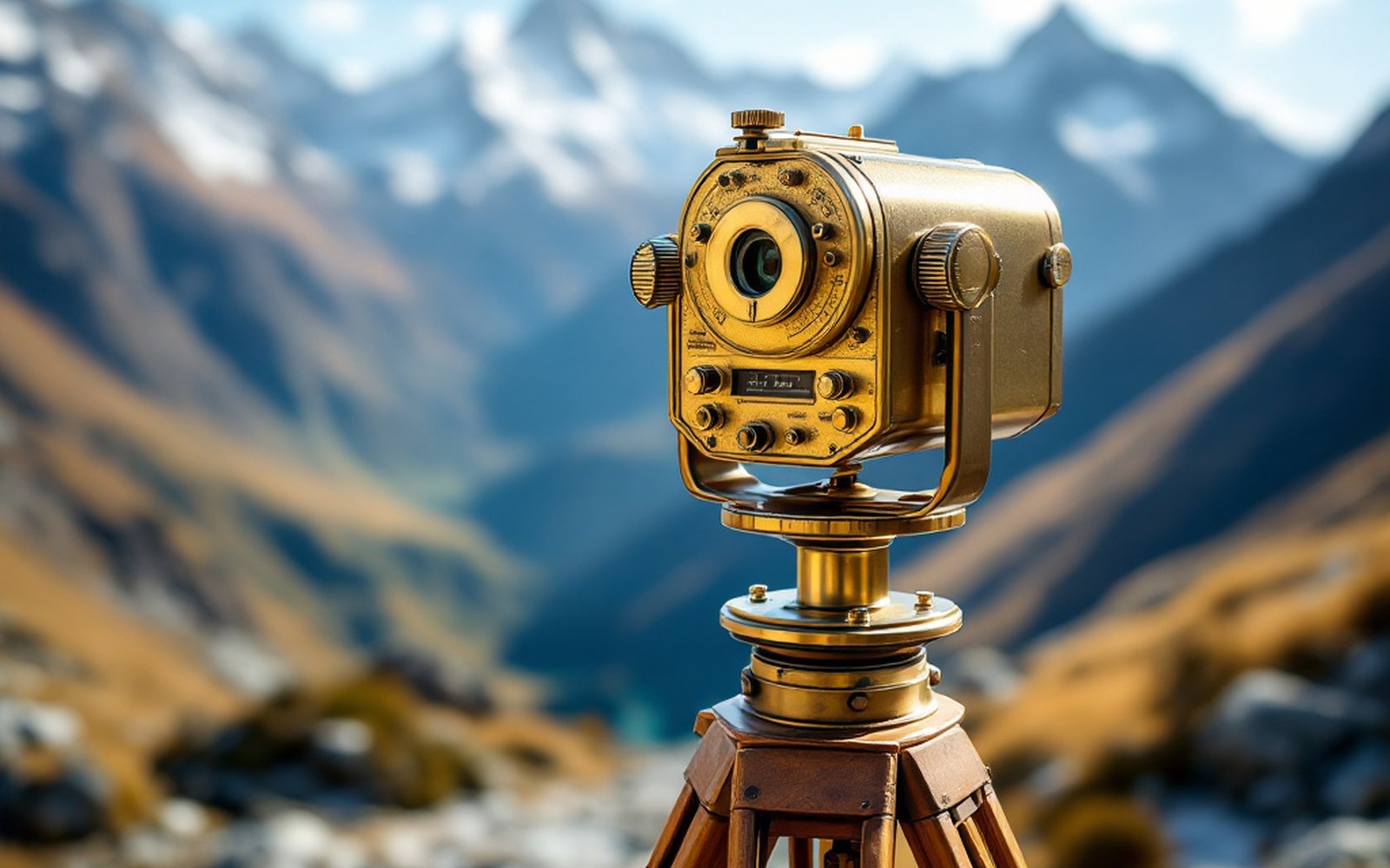
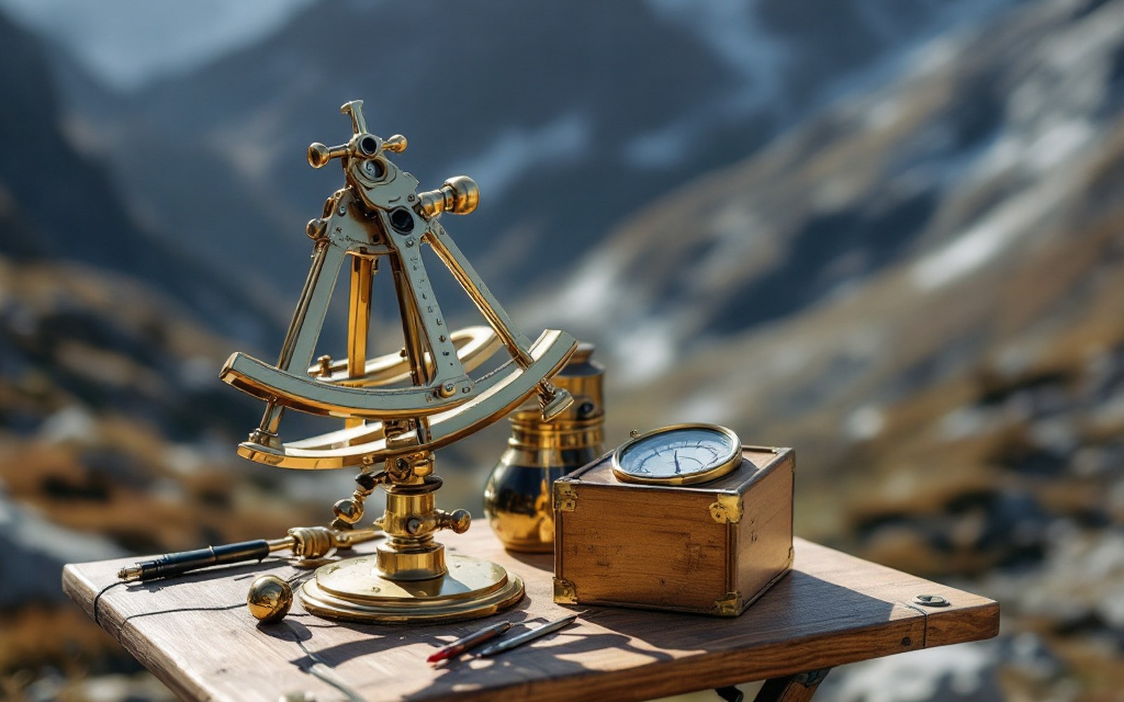
A sextant, a boiling-point thermometer and a compass are enough to fix a position and an altitude if you are patient.
-
06.4
Heights and Coordinates
Water boils lower as you climb, so a thermometer becomes an altimeter and a route becomes a profile.