Instruments
Three tools, correctly read, were enough to fix a position and an altitude anywhere on the plateau.
A sextant, a boiling-point thermometer and a compass are enough to fix a position and an altitude if you are patient.
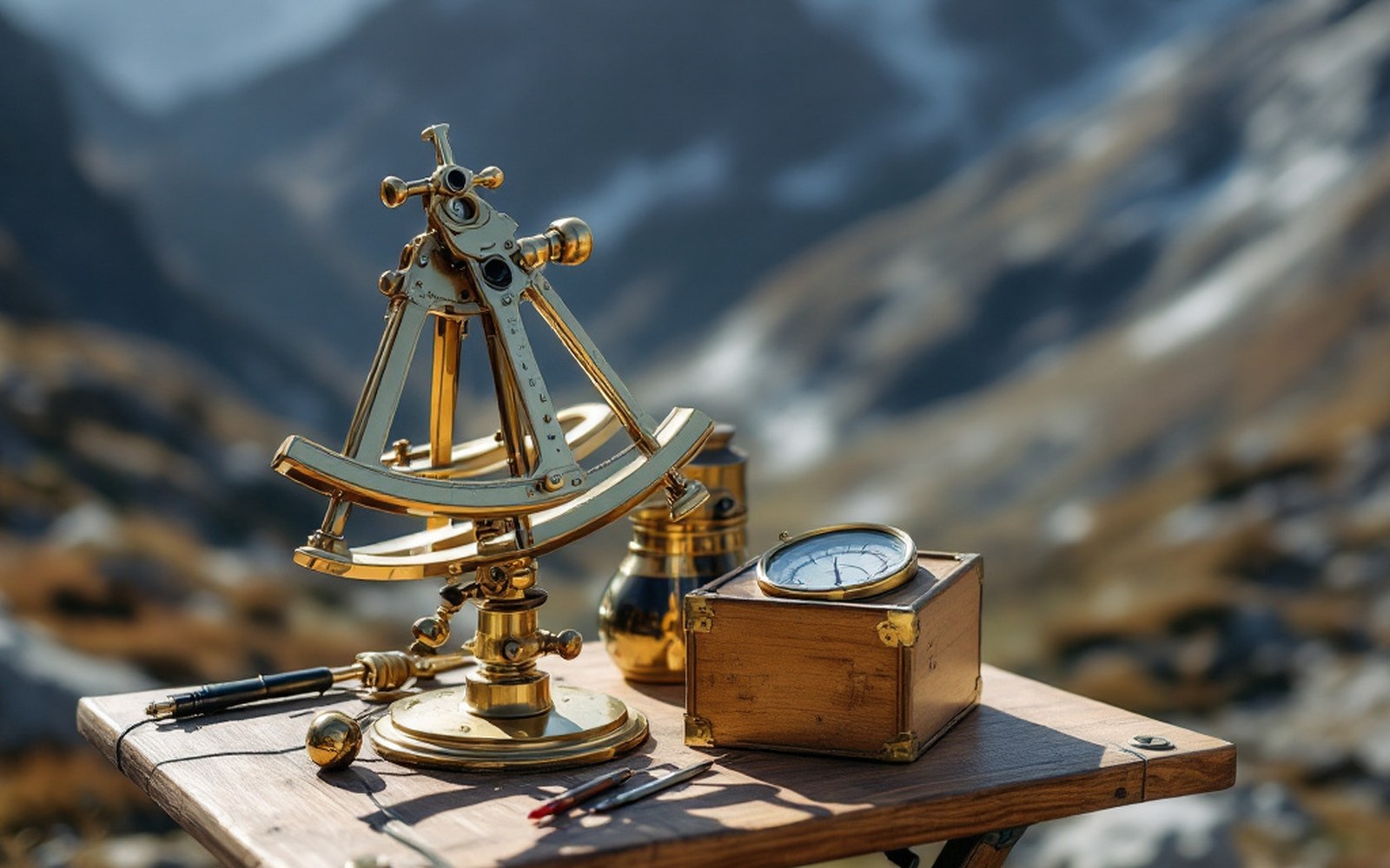
Pocket sextant: measured celestial angle to fix latitude; small enough to conceal in luggageProTibet picture library
01The Instruments and What They Measured
A sextant finds latitude by measuring the angle between a celestial body and the horizon.
In clear mountain air, where the stars are hard and the atmosphere thin, it is remarkably precise. The Survey of India, working out of Dehradun in the foothills of Uttarakhand, issued each trained surveyor a pocket sextant small enough to conceal: for the pundits — the Indian surveyors sent covertly across the plateau from the 1860s onward — concealment was as important as accuracy. Nain Singh Rawat carried his sextant hidden in a false-bottomed travelling chest and took his star sights at night, when he was less likely to be observed.
A magnetic compass fixed direction and, used with a known pace count, allowed dead-reckoning between sextant observations.
Nain Singh counted his paces on a Buddhist rosary that had been shortened from the standard 108 beads to an even 100, each bead marking a hundred paces, each circuit of the rosary marking ten thousand. The pace itself was calibrated: he had walked measured distances before departure so that his stride, on flat ground, was known to within an acceptable tolerance. On this method — one instrument measuring angle, one measuring direction, the body itself measuring distance — he produced the first accurate survey of the road from Nepal to Lhasa, completed in 1866 and accepted without significant revision.
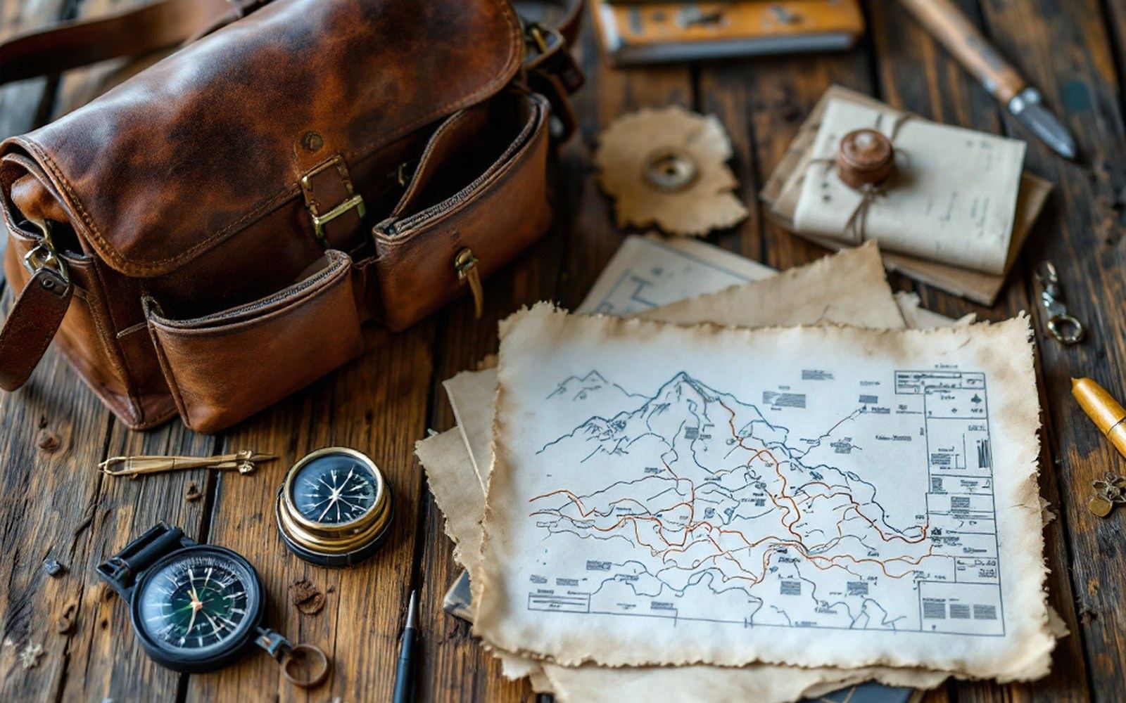
The Survey of India trained Indian surveyors to cross the plateau on foot and measure it while they walked, because they were forbidden to be there. Read the entryProTibet picture library
02Reading Altitude from Boiling Water
A sextant and a compass, together, give position in two dimensions.
The third dimension — altitude — demanded a different instrument altogether. Barometric pressure drops with elevation, and water's boiling point drops with pressure, falling by roughly one degree Celsius for every three hundred metres gained. A calibrated boiling-point thermometer therefore becomes an altimeter: measure the temperature at which water boils, consult a prepared table, and altitude follows.
The instrument used on the plateau was a hypsometer — a small closed vessel that brought water to a steady boil over a spirit lamp, with a thermometer immersed in the steam.
Thomas George Montgomerie, the Royal Engineers officer who conceived the pundit programme at the Survey of India, had his surveyors carry hypsometers alongside their sextants. The readings were not instantaneous: a spirit lamp had to be lit, water brought to a stable boil, and the thermometer read at the moment equilibrium was reached. Wind disrupted the flame; rain disrupted the water; patience was the operative skill. On the Chang Tang, the high northern plateau where wind rarely stops and water for boiling had sometimes to be melted from ice, a reliable reading could take the better part of an hour.
Instruments and method
| Pocket sextant | measured celestial angle to fix latitude; small enough to conceal in luggage |
| Magnetic compass | fixed direction of travel; used with pace count for dead-reckoning |
| Modified rosary | 100 beads (reduced from 108), each marking 100 paces; the human odometer |
| Hypsometer | boiling-point thermometer in a closed vessel; converts steam temperature to altitude via prepared tables |
| Spirit lamp | fuel source for hypsometer; disrupted by wind and rain at altitude |
The resulting altitudes were not perfect — calibration drifted, and local barometric anomalies could introduce error — but they were far better than anything available before. Montgomerie's trigonometrical methods, applied from fixed baselines in the plains, could not reach the interior of Tibet; the hypsometer could go wherever its carrier could walk.
03Accuracy and Its Limits
The pundit surveys were checked, corrected and compiled at Dehradun, where Survey of India draughtsmen turned raw notebooks into publishable maps.
The Royal Geographical Society in London received and published results, and the maps that emerged from the programme placed hundreds of lakes, rivers, passes and settlements — including Lake Namtso and Lake Manasarovar — at positions that modern GPS confirms as close. Kishen Singh's traverse of the plateau in the early 1880s covered thousands of miles and produced altitude readings for much of the northern plateau using exactly these instruments.
What the three-instrument method could not do was resolve fine detail.
A sextant observation accurate to within a few miles is good enough to fix a lake but not a narrow gorge; a pace count drifts over broken ground; a hypsometer gives altitude at points, not along profiles. The instruments were enough — precisely enough, for the purpose — and they were everything the plateau allowed. Precision beyond that would wait for the twentieth century and instruments the pundits never carried.
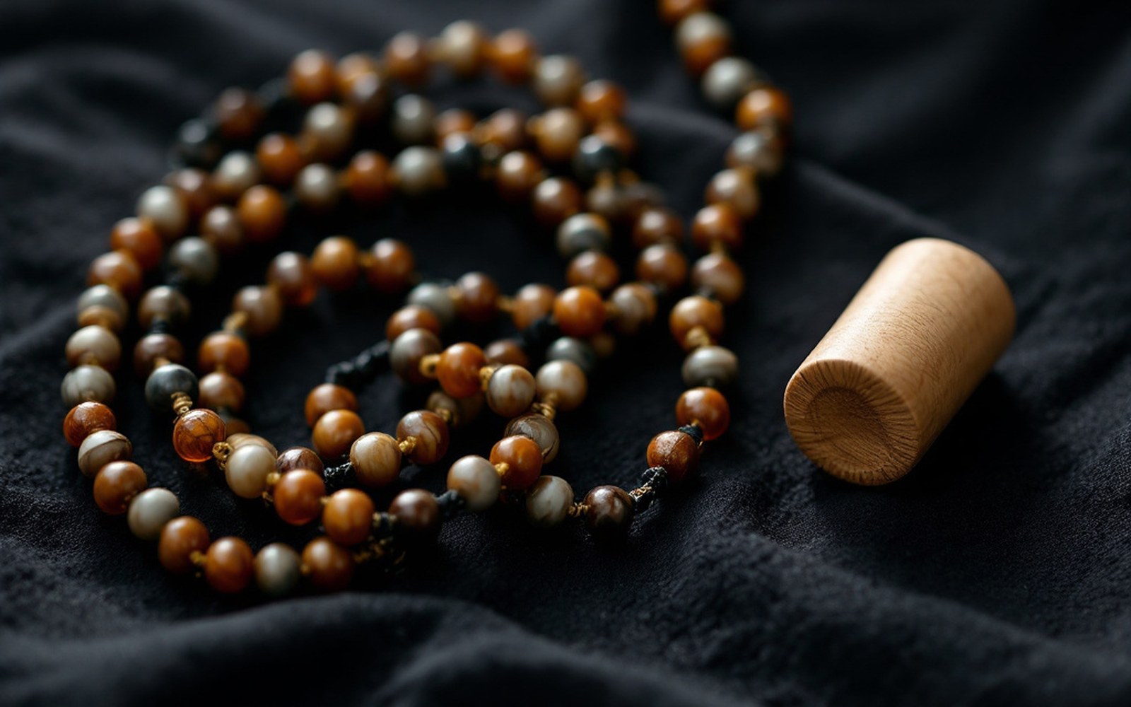
He walked measured paces counted on a rosary shortened to a hundred beads, and hid his notes inside a prayer wheel. Read the entryProTibet picture library
Key numbers
| 1866 | year Nain Singh Rawat completed the first accurate survey road-map from Nepal to Lhasa |
| ~1 °C per 300 m | rate at which boiling point drops with elevation; the hypsometer's operating principle |
| 108 → 100 | rosary beads reduced to give a clean decimal pace count |
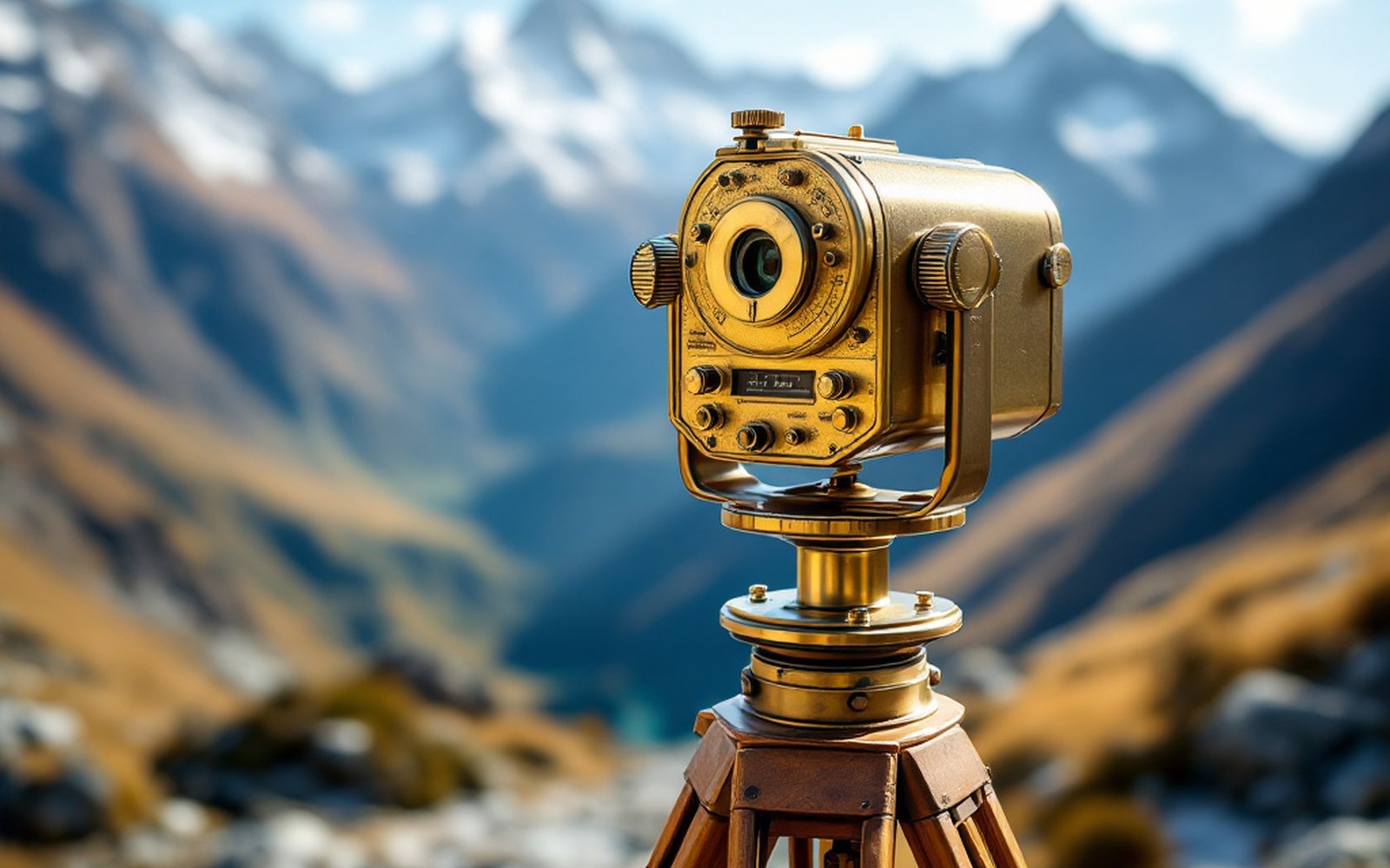
Water boils lower as you climb, so a thermometer becomes an altimeter and a route becomes a profile. Read the entryProTibet picture library
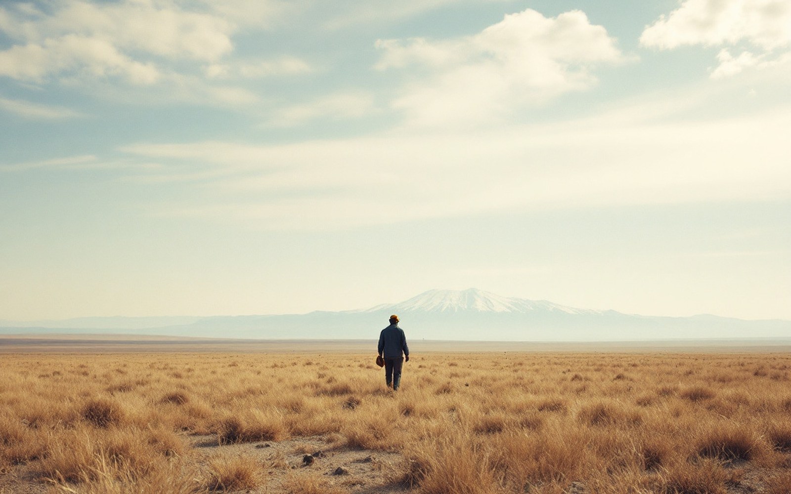
Above the barley line there is grass and nothing else, which is why the economy moved rather than settled.ProTibet picture library