The Pundits
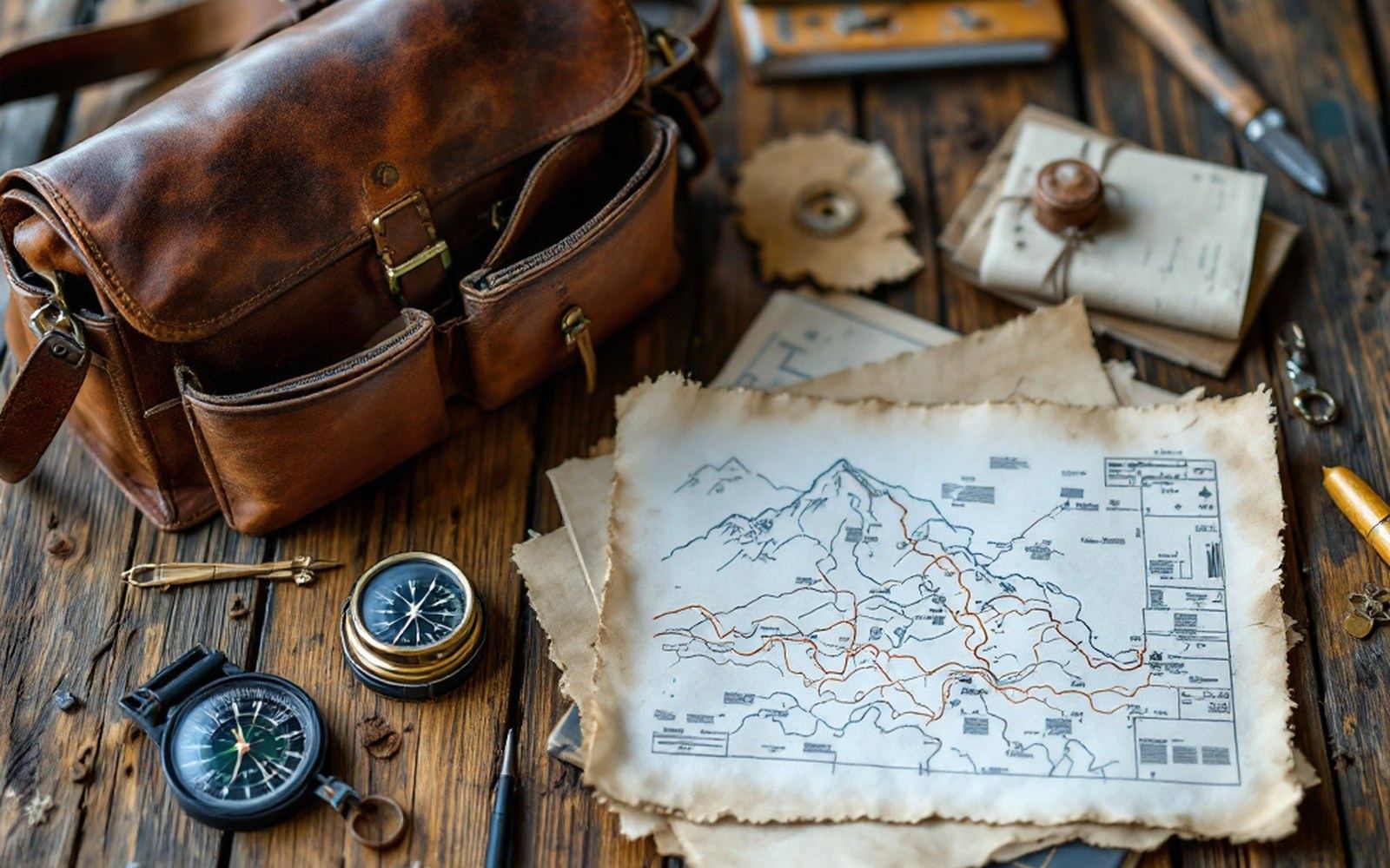
The Survey of India trained Indian surveyors to cross the plateau on foot and measure it while they walked, because they were forbidden to be there.
Prayer wheel with false bottom: held sextant or notebook rollProTibet picture library
01A School for Secret Surveyors
The plateau would not let Europeans in, and the Survey of India needed numbers: latitudes, longitudes, elevations, route lengths.
The solution arrived in the early 1860s in the form of a deliberate deception — train local men to walk the plateau with measuring instruments hidden on their persons, recording the country in the guise of traders or pilgrims. The British called these men "pundits," borrowing a Hindi word for a learned man and repurposing it as an operational designation. They were, in effect, the survey's covert field division.
The officer who designed the programme was Thomas George Montgomerie of the Survey of India, then posted to the Great Trigonometrical Survey. He had fixed the height of K2 from a triangulation station in Kashmir in 1856 and understood the geometry of distant measurement. What he could not do from Kashmir was map the plateau itself: the distances were too great, the terrain too closed. Montgomerie's insight was that a well-trained local surveyor, moving on foot and carrying instruments small enough to be concealed, could record a route to an accuracy comparable to a chain survey — not the precision of triangulation, but far better than guesswork.
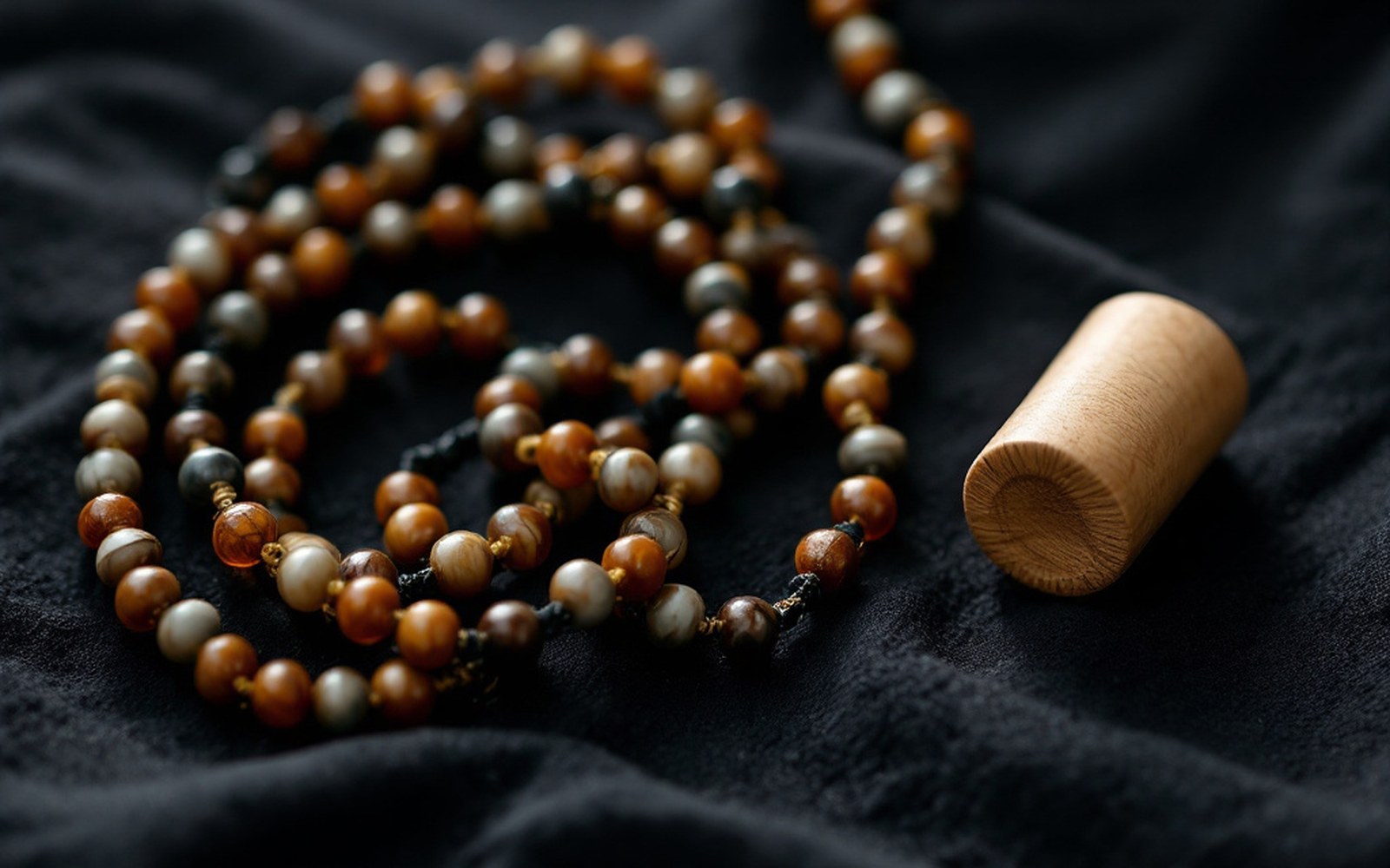
He walked measured paces counted on a rosary shortened to a hundred beads, and hid his notes inside a prayer wheel. Read the entryProTibet picture library
02The Training and the Tools
The first recruits arrived at Dehradun in the early 1860s.
The Survey's headquarters there became the site of a demanding preparation. The two men selected for the inaugural missions were cousins: Nain Singh Rawat, a schoolteacher from Milam in Kumaon, and Mani Singh (also known as Manpur Singh or, in the records, as "Gunain"). The curriculum was practical and methodical. Recruits learned to walk a pace of exactly thirty-one and a half inches — calibrated and then drilled until it was automatic — and to count each double pace on a rosary reduced to a hundred beads, rather than the conventional hundred and eight, so that every bead registered a hundred double paces and a completed circuit ten thousand, without mental arithmetic. Distance was accumulated in bead-counts per day, and the total transcribed each night.
Elevation came from boiling-point thermometers — water's boiling temperature drops measurably with altitude, and a reading accurate to a fraction of a degree resolved to a height accurate to within a few tens of metres.
Direction came from a small compass. Latitude came from a sextant, taken after dark when the trader's fire had died down and the instrument could be laid flat on the ground to measure a stellar altitude. These tools were hidden inside a prayer wheel fitted with a false bottom, in a walking staff hollowed to take a thermometer, sewn into the lining of a coat. The notebooks recording the day's measurements — written in a private cipher — went into the wheel's paper roll alongside the conventional devotional strips.
The instruments and their hiding places
| Prayer wheel with false bottom | held sextant or notebook roll |
| Walking staff hollowed along its length | carried boiling-point thermometer |
| Rosary reduced from 108 to 100 beads | pace-counter, one bead per hundred double paces |
| Coat lining | concealed the cipher notebook |
The disguise rested on material knowledge as much as on courage.
A man who could not pass as a Kumaoni trader or a Buddhist pilgrim would not survive the journey; the instruments were worthless if their carrier was turned back at the border or arrested at a checkpoint. Nain Singh, fluent in Tibetan and already familiar with the trade routes of the high plateau, was the more experienced traveller of the first pair. His training at Dehradun refined and quantified what he already knew.
03Routes Across the Plateau
Nain Singh Rawat made his first successful traverse of the plateau in 1865–66, entering from Nepal, reaching Lhasa and returning — a journey of several months that produced a measured route from the Nepalese frontier to the Tibetan capital and back. From his pace-count, sextant readings and barometric records he determined the latitude of Lhasa to a precision later confirmed to be within a minute of arc, and established an elevation figure for the city that held in the literature for decades. He also fixed the course of the upper Yarlung Tsangpo valley, resolving a longstanding debate about the river's direction and gradient.
His later work extended the coverage north and west.
The 1867–68 mission took him across the Chang Tang toward the gold fields of Thok Jalung, a route that had never been measured by any outside observer. The 1873–74 traverse — an extraordinary journey of fourteen months — took him from Leh in Ladakh east to Lhasa by a northern route through the plateau's interior. Across all three missions he covered thousands of measured miles, each one recorded in bead-counts and cipher-notebook entries that the Survey's draughtsmen in Dehradun converted into latitudes, longitudes and route lines on paper.
The second great operator of the programme was Kishen Singh, another Kumaoni surveyor, whose 1878–82 mission lasted nearly four years and produced measured data for a vast arc of the eastern plateau, including the upper Salween and Mekong basins and the routes leading toward the Chinese borderlands. Kishen Singh was presumed lost for years; the Survey eventually recovered both the man and his notebooks. His data filled in the eastern quadrants of the plateau map that Nain Singh's western traverses had left open.
Other operators followed. A surveyor known in the records only as "AK" — Abdul Khan or, in some sources, Ata Muhammad — mapped sections of the northern routes. "GK" traversed further east. Each operated under a letter designation rather than a name in official correspondence, a security measure that has made it difficult to reconstruct every career in full.
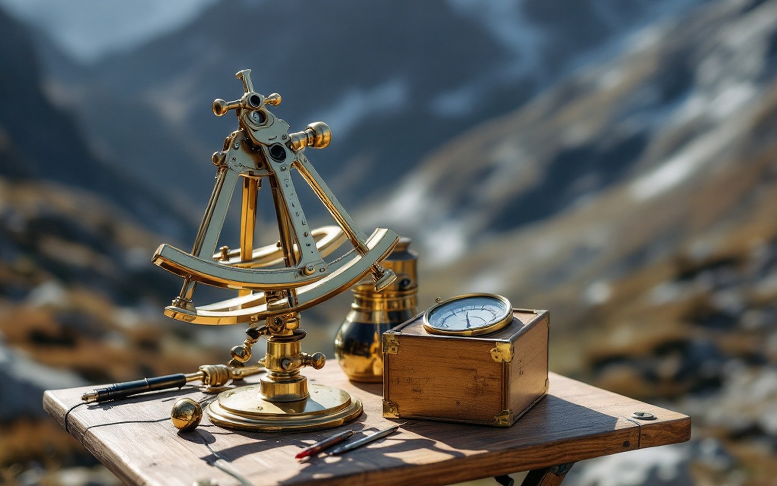
A sextant, a boiling-point thermometer and a compass are enough to fix a position and an altitude if you are patient. Read the entryProTibet picture library
The products of the programme — the route surveys, the altitude records, the latitude determinations — fed directly into the published mapping of the Royal Geographical Society and the Survey of India's own sheets.
The plateau's skeleton of rivers, lakes and passes, as it appeared on European maps in the 1880s and 1890s, was drawn substantially from pundit data. Lake Namtso, the Kailash range, the great bends of the Yarlung Tsangpo, the high crossing points of the ranges: coordinates for all of these came from bead-counted paces, candlelit sextant readings and hidden thermometers.
04Precision and Its Limits
The pace-count method introduced systematic errors whenever the terrain forced deviation from a straight line or required a change of pace — wet ground, heavy loads, crowd-threading in a market town.
Sextant readings taken in poor light or on unsteady ground accumulated their own uncertainties. The Survey's officers were well aware of this, and the pundit route surveys were always classified as first-order approximations rather than trigonometric fixes. What they offered was structure: a measurable armature onto which triangulation could eventually be draped.
The elevation data is a case in point. Nain Singh's boiling-point readings for the Lhasa valley and the Chang Tang crossings were internally consistent and matched the hypsometry — the pattern of river gradients and basin levels — well enough that later instrumental surveys revised them by tens of metres rather than hundreds. For a measurement made with a hidden thermometer after a day's walking in disguise, that is not a margin to be dismissive about. The Royal Geographical Society recognised this, and in 1877 awarded Nain Singh Rawat its Patron's Medal — the society's highest honour — for the accumulated accuracy of his plateau surveys.
Key operators and their missions
| Nain Singh Rawat | three plateau traverses, 1865–66, 1867–68, 1873–74; fixed latitude of Lhasa; awarded Royal Geographical Society Patron's Medal, 1877 |
| Kishen Singh | 1878–82, eastern plateau including upper Salween and Mekong basins; presumed lost, recovered with notebooks intact |
| "AK" / "GK" | letter-designated surveyors; northern and eastern routes; full identities uncertain in the record |
The pundit programme ran in active form from the mid-1860s through the 1880s.
By then, the political situation had shifted enough that other modes of survey became possible, and the specific design of the programme — trained local men, disguised instruments, coded notebooks — became less necessary. What it left behind was a measured plateau where there had been a blank, and a body of technique demonstrating how much a careful walker with a few small tools and a very long preparation could bring back from a place that would not admit him openly.
Water boils lower as you climb, so a thermometer becomes an altimeter and a route becomes a profile. Read the entryProTibet picture library
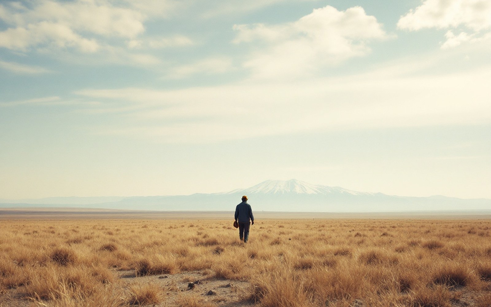
Above the barley line there is grass and nothing else, which is why the economy moved rather than settled.ProTibet picture library
Nain Singh Rawat
Surveyor, Survey of India
Schoolteacher from Milam in Kumaon; three plateau traverses between 1865 and 1874, and the first measured route from the Nepalese frontier to Lhasa.
Kishen Singh
Surveyor, Survey of India
Kumaoni surveyor whose 1878–82 mission covered the eastern plateau, including the upper Salween and Mekong basins.
From the record
Thomas George Montgomerie
Royal Engineers, Great Trigonometrical Survey
Designed the training programme at Dehradun. He had fixed the height of K2 from a triangulation station in Kashmir in 1856.
From the record