Nain Singh Rawat
The schoolteacher from Kumaon who became the Survey of India's most accomplished secret surveyor — and mapped more of the Tibetan plateau than any European had seen.
He walked measured paces counted on a rosary shortened to a hundred beads, and hid his notes inside a prayer wheel.
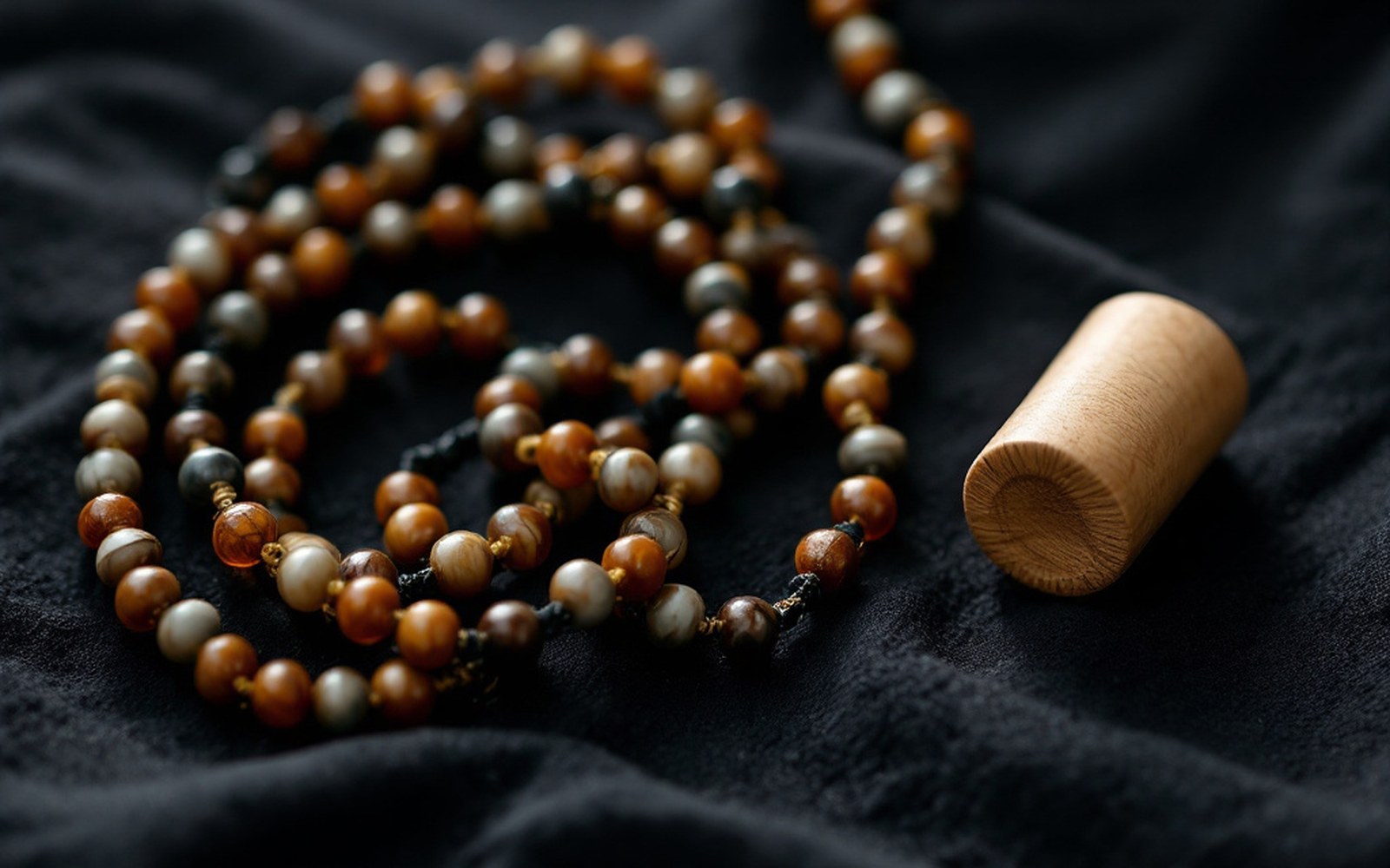
Prayer wheel: hollowed out, blank scroll inside instead of printed text; concealed route notesProTibet picture library
01The Man and the Method
Nain Singh Rawat was born around 1830 in Milam, a village in the Johar valley of what is now Uttarakhand, close enough to the passes leading north that trading journeys into Tibet were ordinary fact of life for its people. He came to the attention of the Survey of India in the early 1860s, when the organisation was searching for men who could do what no European could: move through Tibet without being expelled or killed, observing everything, recording nothing that could be seen. Thomas George Montgomerie, a Royal Engineers officer attached to the Survey, devised the training programme that turned Nain Singh and a small group of colleagues into the Pundits — the name British officers gave these covert surveyors, drawn from the Hindi word for a learned man.
The instruments were ordinary objects transformed.
A prayer wheel — the kind any traveller might carry — was hollowed out and fitted with a scroll of blank paper for notes instead of the usual printed text. A Buddhist rosary, which by tradition holds 108 beads, was shortened to exactly 100, so that each full circuit of the beads counted a hundred paces. Nain Singh's measured pace had been calibrated on a known baseline at Dehradun until it came reliably to 33 inches across all terrain, meaning two thousand paces — twenty circuits of the rosary — equalled almost exactly one mile. A modified compass was hidden inside a false-bottomed box, and a thermometer for measuring the boiling point of water served as his altimeter: at high elevation, water boils at a lower temperature, and from that temperature the altitude can be calculated.
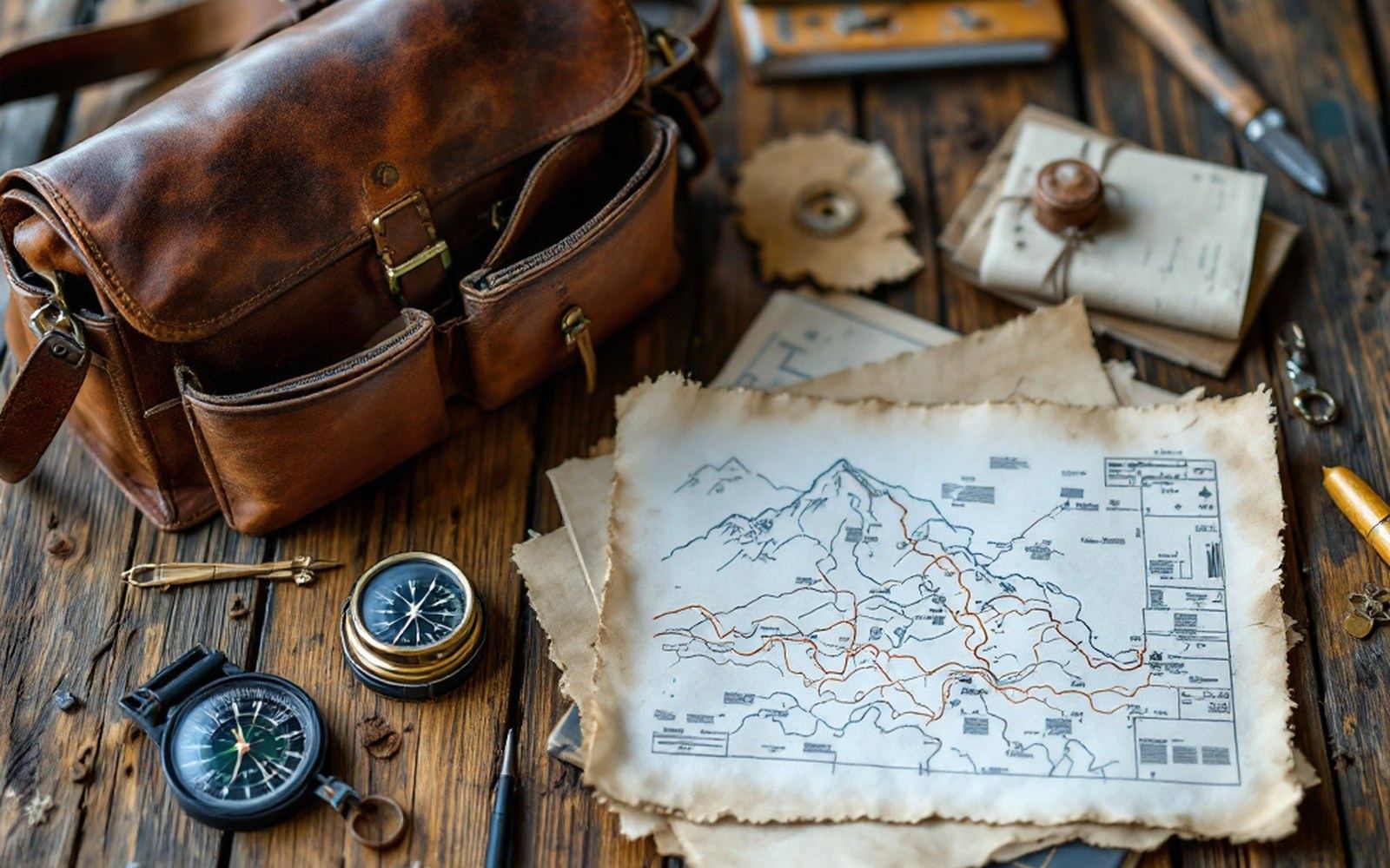
The Survey of India trained Indian surveyors to cross the plateau on foot and measure it while they walked, because they were forbidden to be there. Read the entryProTibet picture library
Every calculation was concealed. Latitude came from stellar observations taken after dark; bearings were noted mentally and transferred to the prayer-wheel scroll when no one was watching. Nain Singh recorded temperature, altitude, the course of rivers, the character of terrain. He was, by occupation during his journeys, a Ladakhi trader or a wandering scholar, which his background and his fluent command of the relevant languages made entirely plausible.
02The Routes and What They Yielded
Nain Singh's first major journey, completed in 1866, established the position and altitude of Lhasa with a precision the Survey of India had not previously achieved.
He approached via Nepal, entered Tibet, and spent several months in Lhasa — still closed to European entry — before returning through western Tibet. The latitude he fixed for Lhasa (29°39′N) was accurate to within a few minutes of arc. He also established that the Yarlung Tsangpo, the great river crossing the plateau from west to east through its central valley, was not — as had sometimes been argued — the upper course of the Irrawaddy. His measurements of the river's elevation were critical evidence in that geographical debate.
A second journey in 1867–68 took him through the salt-lake country of the Chang Tang, the high northern plateau.
He mapped sections of the trade routes along which, for generations, the drokpa — the plateau's nomadic herders — had moved salt southward on yak-back in exchange for grain from the farming valleys. His notebooks recorded elevations and distances that gave cartographers in Dehradun enough to construct reliable map sheets where before there had been only conjecture and travellers' rumour.
Instruments and their covers
| Prayer wheel | hollowed out, blank scroll inside instead of printed text; concealed route notes |
| Rosary | shortened from 108 beads to 100; each circuit = 100 paces; 2,000 paces ≈ 1 mile |
| Thermometer | boiling-point of water falls with altitude; functioned as altimeter |
| Compass | hidden in false-bottomed travelling box |
His most ambitious journey came in 1874–75, when he crossed from Leh in Ladakh to Lhasa by a route through the northern plateau that had not been surveyed at all.
The journey lasted more than a year and covered roughly 1,200 miles. He identified and fixed the position of Lake Manasarovar and several other major bodies of water, and his route data resolved long-standing uncertainties about the interior geography of the plateau's northern section. The Royal Geographical Society, which received and published analyses of his work through the 1860s and 1870s, awarded him its Patron's Medal in 1877.
03What the Record Became
The data Nain Singh brought back was not raw adventure material.
It was systematic: pace-counts converted to distances, boiling-point readings converted to altitudes, star observations reduced to latitudes. The cartographers at Dehradun worked from his figures to produce sheets of the plateau that remained in use, and were used as source material, long after his active surveying ended. His cousin Kishen Singh, also trained by the Survey, extended the network of observations further east and north in the 1880s.
The corpus of Pundit survey data — of which Nain Singh's contribution forms the largest and most precisely documented part — represents a particular kind of geographical knowledge: earned on foot, at pace, over years, by a man who could not write openly. What survives is a body of distances accurate to within a small percentage of their true values across some of the most difficult terrain on earth, fixed without triangulation towers, without a survey party, and without the ability to check one reading against another in the field. The methods are described in detail in Montgomerie's own published account in the Journal of the Royal Geographical Society, which gives the technical specification of the instruments and the training programme.
Nain Singh retired from surveying in the late 1870s and was granted a land pension by the Indian government.
He died in 1882. His name was attached to no mountain, no pass and no lake during his lifetime; the cartographic credit in the maps that depended on his work was institutional rather than personal. The Survey of India's archive at Dehradun holds the administrative record of his employment and the processed versions of his route surveys; the raw scroll-notes from the prayer wheel, if they survived at all, have not been publicly located.
What he actually did — walk measured paces across the plateau, count them on a shortened rosary, hide the results in a prayer wheel, read the stars at night and bring back numbers that held — is, materially and methodologically, one of the more extraordinary feats in the history of geographical measurement.
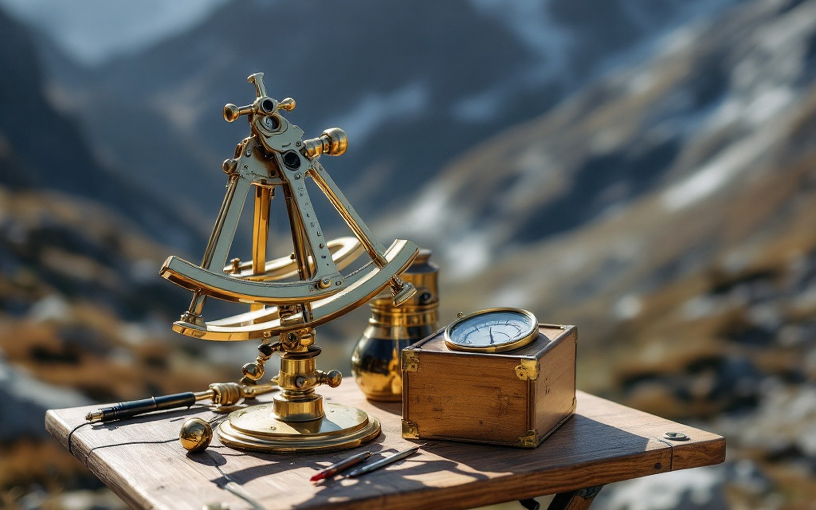
A sextant, a boiling-point thermometer and a compass are enough to fix a position and an altitude if you are patient. Read the entryProTibet picture library
Key numbers
| c. 1830 | approximate birth year, Milam, Johar valley, Kumaon |
| 1866 | first major journey; Lhasa latitude fixed to within minutes of arc |
| 1874–75 | longest journey, Leh to Lhasa via northern plateau; c. 1,200 miles |
| 1877 | Patron's Medal, Royal Geographical Society |
| 1882 | death |
Water boils lower as you climb, so a thermometer becomes an altimeter and a route becomes a profile. Read the entryProTibet picture library
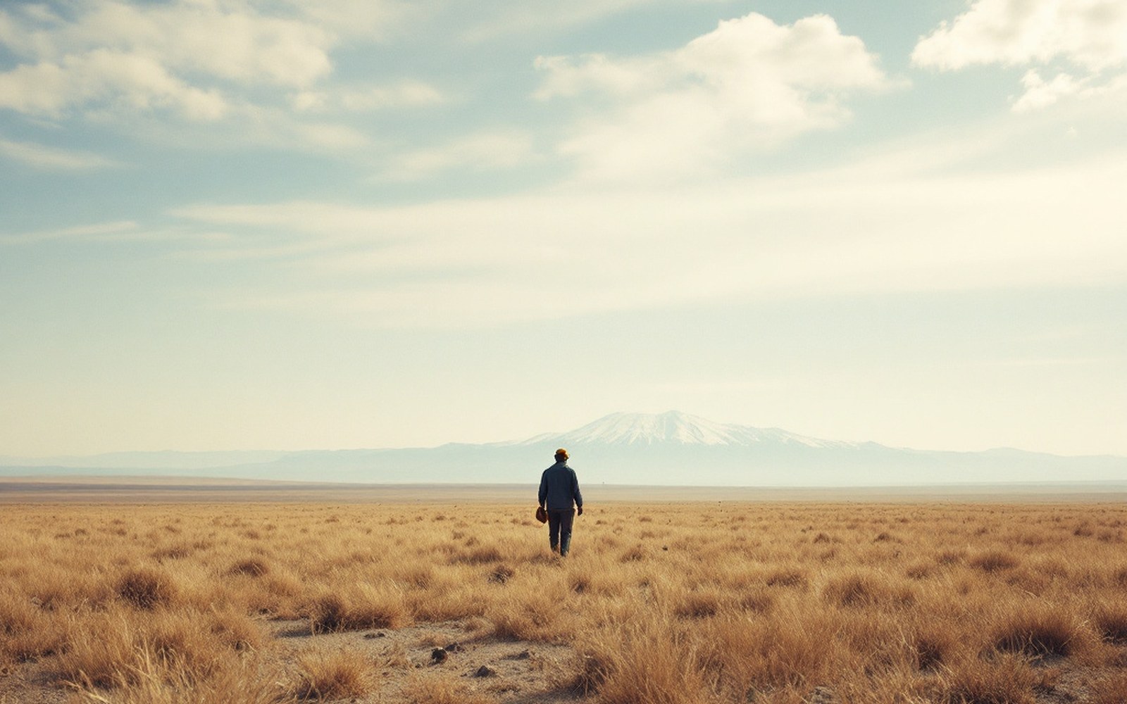
Above the barley line there is grass and nothing else, which is why the economy moved rather than settled.ProTibet picture library
Nain Singh Rawat
Surveyor, Survey of India
Born about 1830 at Milam in the Johar valley; fixed the position and altitude of Lhasa on his first journey and crossed from Leh to Lhasa in 1874–75.
From the record
Kishen Singh
Surveyor, Survey of India
His nephew, also trained by the Survey, who extended the observations east and north in the 1880s.