Heights and Coordinates
A thermometer in boiling water reads altitude, a rosary counts paces, and a route becomes a survey.
Water boils lower as you climb, so a thermometer becomes an altimeter and a route becomes a profile.
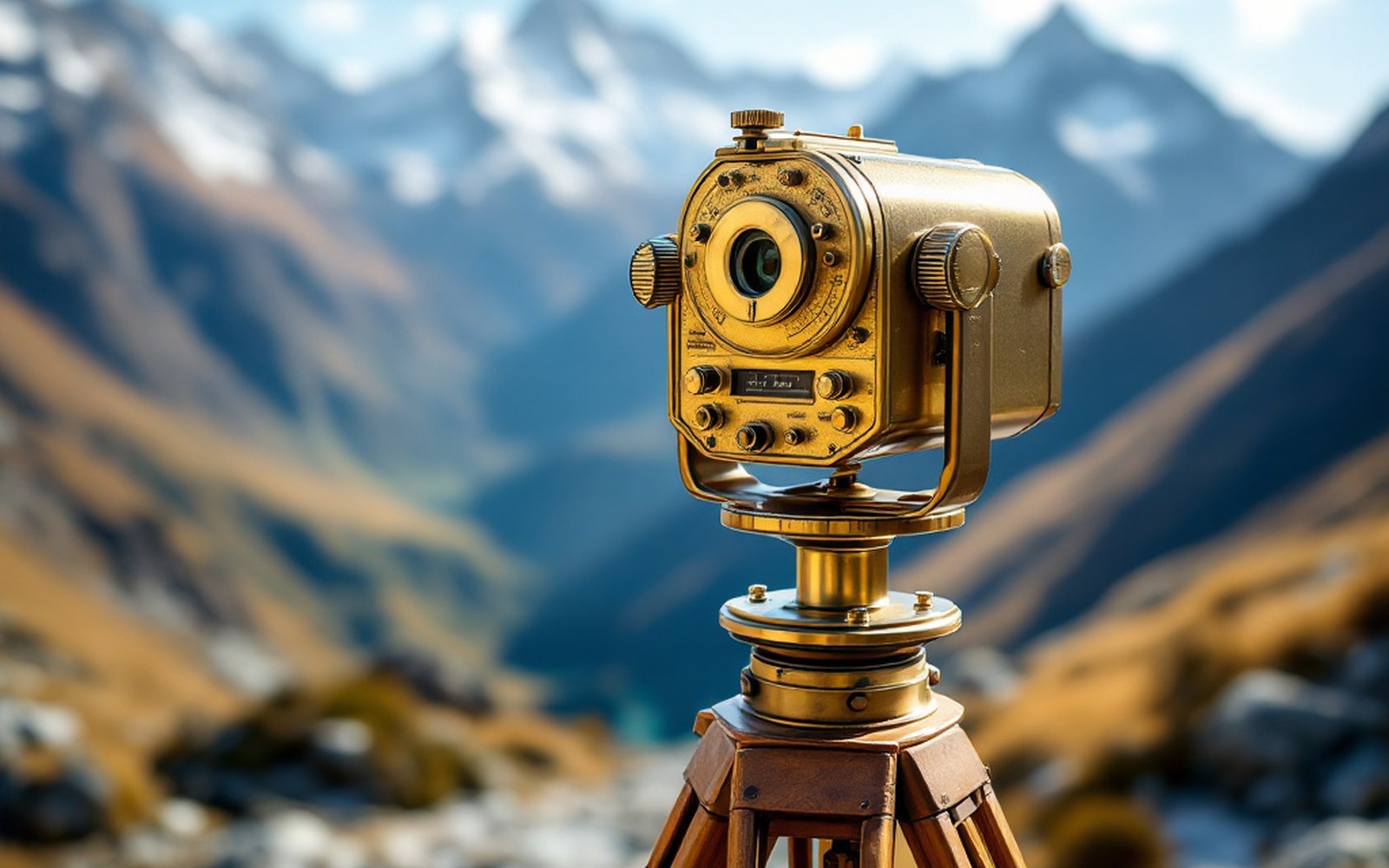
Boiling-point thermometer (hypsometer): water's boiling point drops ~1 °C per ~300 m gained; reading the temperature gives the elevationProTibet picture library
01The instrument problem at elevation
Barometric pressure drops with altitude, which means water boils at a lower temperature the higher you climb — roughly one degree Celsius for every three hundred metres gained.
That relationship, calibrated against known sea-level values, turns a boiling-point thermometer into a hypsometer: an altimeter accurate enough to profile a route across a plateau that sits, on average, above four thousand five hundred metres. The Survey of India, based in Dehradun, issued exactly this instrument to its trained surveyors alongside a sextant for latitude and a compass for bearing. Together, three small objects could fix a position in three dimensions.
The difficulty on the Tibetan plateau was not the physics but the access.
Foreign surveyors were refused entry, so from the 1860s onward the Survey trained Indian agents — the pundits — to carry these instruments covertly across the ranges. Nain Singh Rawat, the most celebrated of them, counted his paces on a rosary reduced to a hundred beads rather than the standard hundred and eight, so that each circuit equalled a known, pre-measured distance. His notes were hidden in a prayer wheel; his thermometer readings were taken at each night camp. The resulting traverse of the plateau, walked between 1865 and 1866, fixed the latitude and altitude of Lhasa and mapped the upper course of the Yarlung Tsangpo for the first time with instrumental precision.
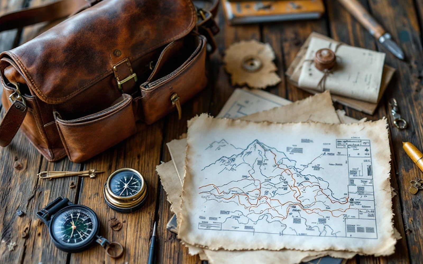
The Survey of India trained Indian surveyors to cross the plateau on foot and measure it while they walked, because they were forbidden to be there. Read the entryProTibet picture library
Kishen Singh, who followed a decade later, extended the network north toward the Chang Tang, accumulating thousands of paced kilometres and hundreds of boiling-point readings.
Neither man had a theodolite; neither needed one for a traverse. What they produced was a chain of fixes — latitude, longitude, elevation — close enough together that the shape of the land between them could be inferred. The Royal Geographical Society published the results, and the plateau's hypsography — its vertical structure — entered the record not from a mountaintop triangulation but from a kettle brought to the boil in a tent at midnight.
How the method worked
| Boiling-point thermometer (hypsometer) | water's boiling point drops ~1 °C per ~300 m gained; reading the temperature gives the elevation |
| Sextant | fixes latitude from the angle of the sun or a star above the horizon |
| Compass | records bearing of travel between fixes |
| Rosary (modified to 100 beads) | each full circuit = one pre-measured unit of distance; pace-counts accumulated over days yield total traverse length |
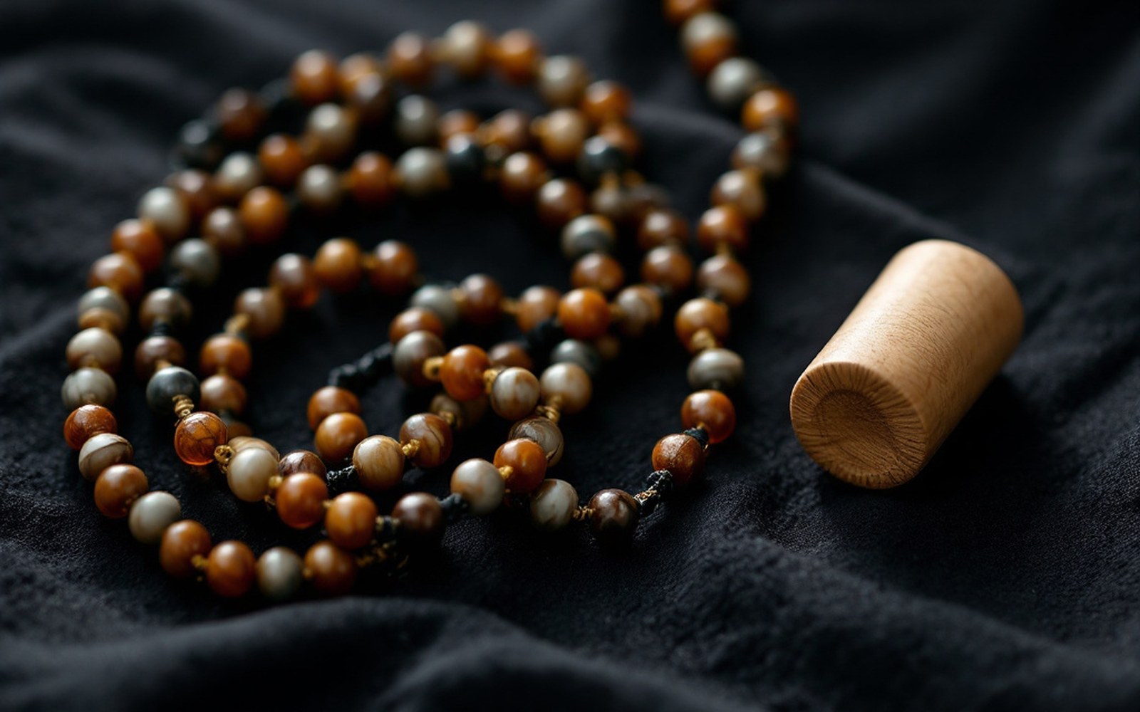
He walked measured paces counted on a rosary shortened to a hundred beads, and hid his notes inside a prayer wheel. Read the entryProTibet picture library
Chronology
- 1865–66Nain Singh Rawat's first plateau traverse; latitude and elevation of Lhasa fixed
- 1870s–80sKishen Singh's extended traverses north toward the Chang Tang
- Results published by the Royal Geographical Society and incorporated into Survey of India maps
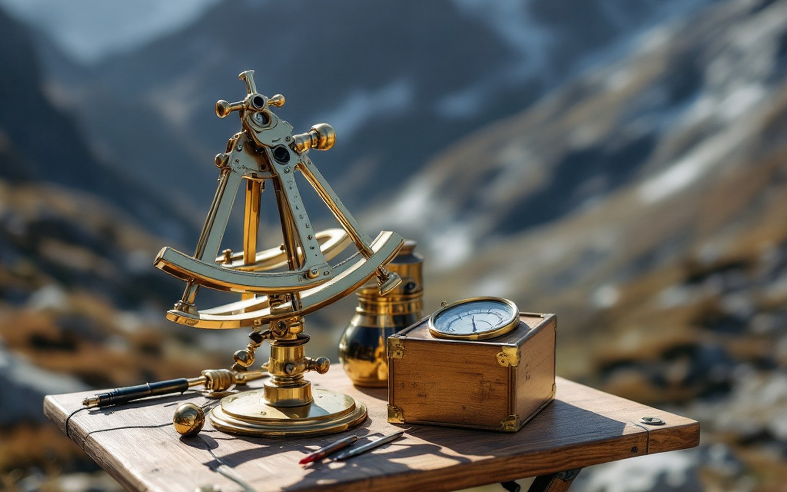
A sextant, a boiling-point thermometer and a compass are enough to fix a position and an altitude if you are patient. Read the entryProTibet picture library
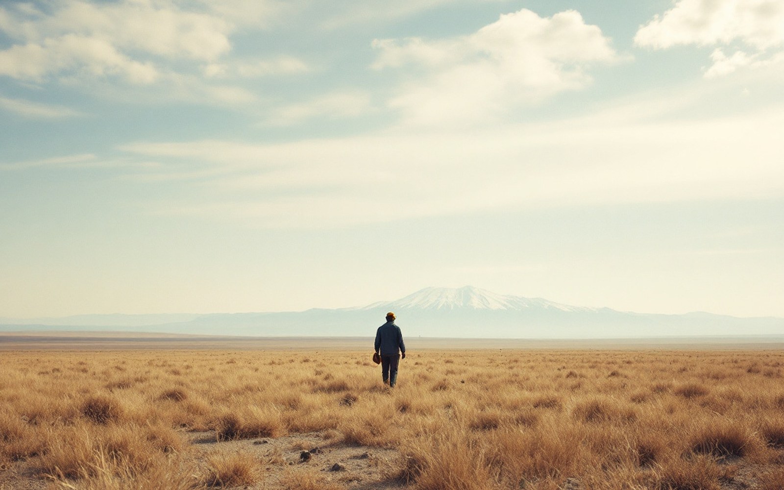
Above the barley line there is grass and nothing else, which is why the economy moved rather than settled.ProTibet picture library