Section 06
Mapping
How the country got onto a map. Every entry is one thing altitude decided.
Mapping
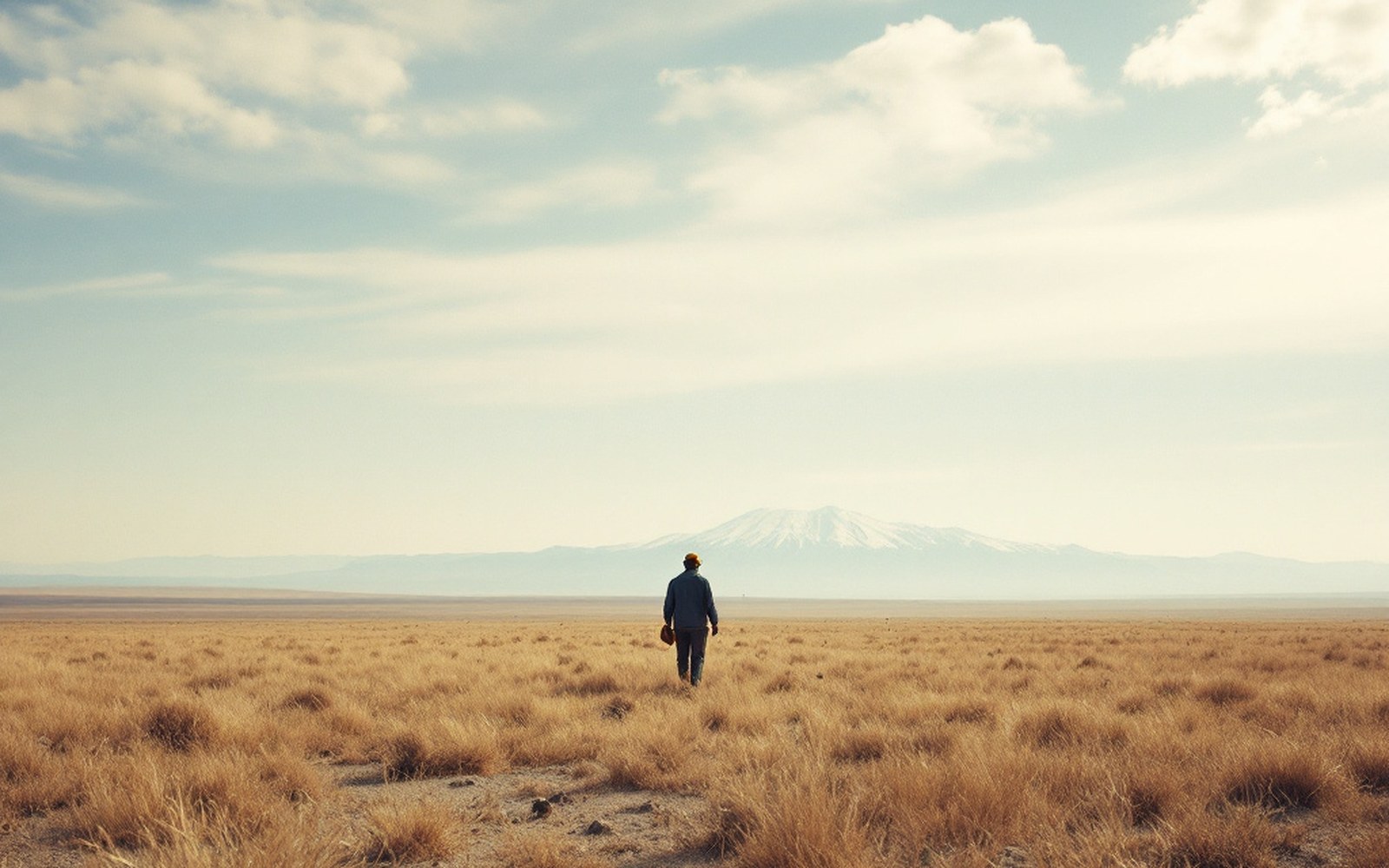
The plateau was measured on foot, in counted paces, by men who were not permitted to be there.ProTibet picture library
4 entries in this section
All twenty-four-
06.1
The Pundits
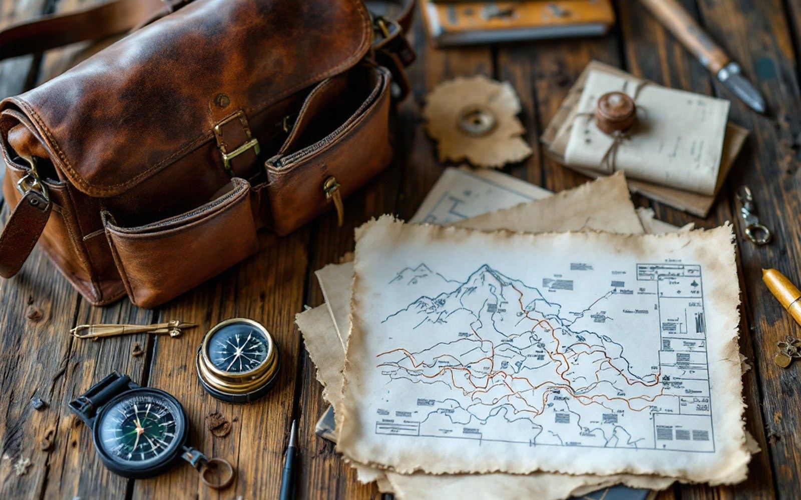
The Survey of India trained Indian surveyors to cross the plateau on foot and measure it while they walked, because they were forbidden to be there.
-
06.2
Nain Singh Rawat
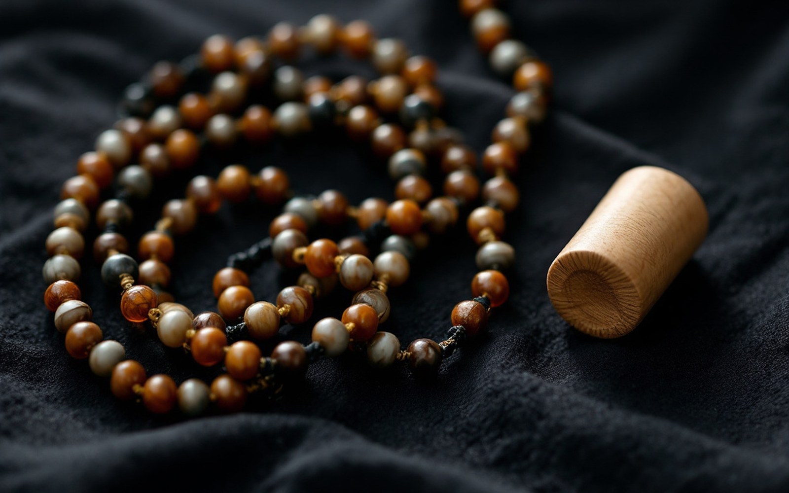
He walked measured paces counted on a rosary shortened to a hundred beads, and hid his notes inside a prayer wheel.
-
06.3
Instruments
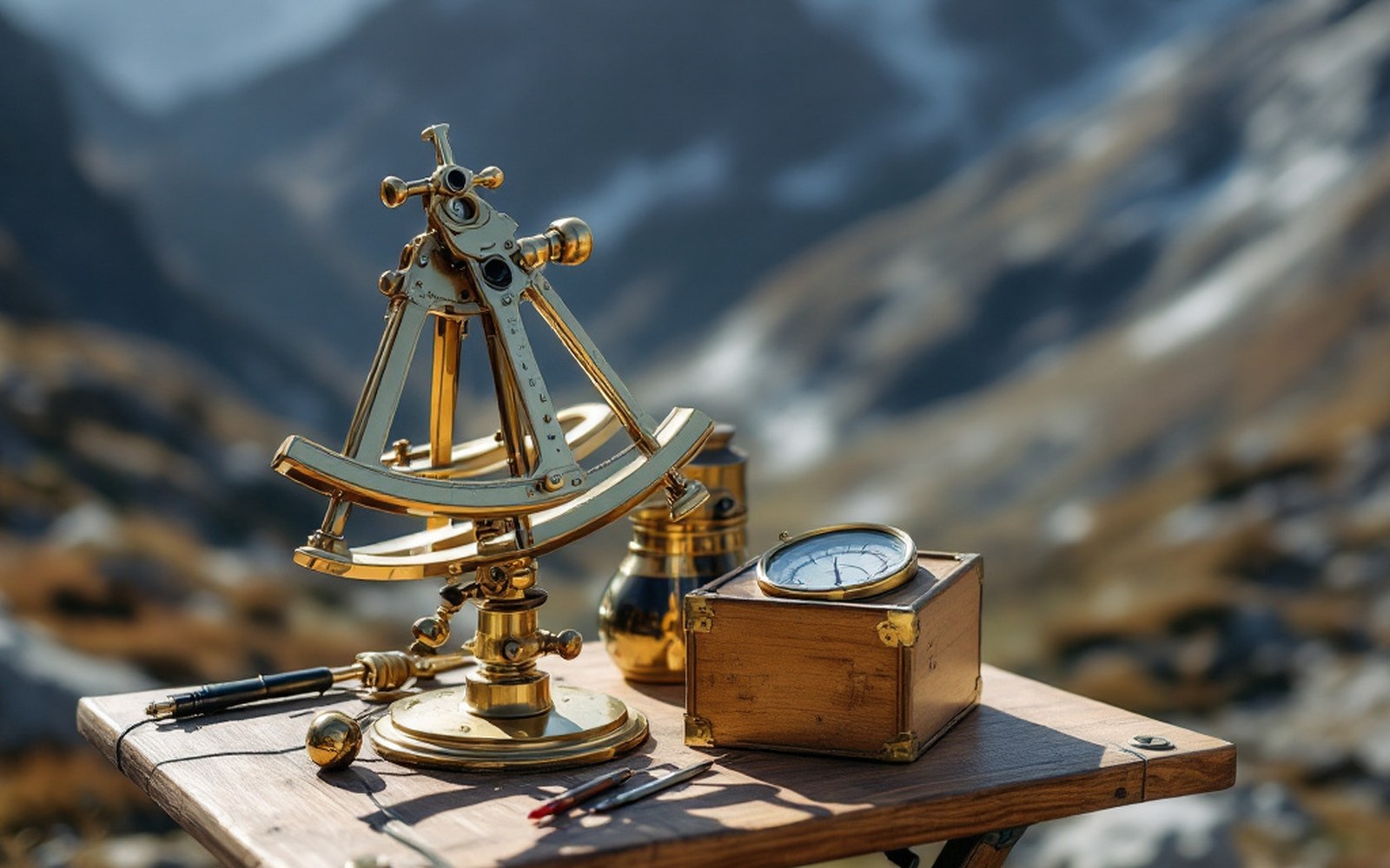
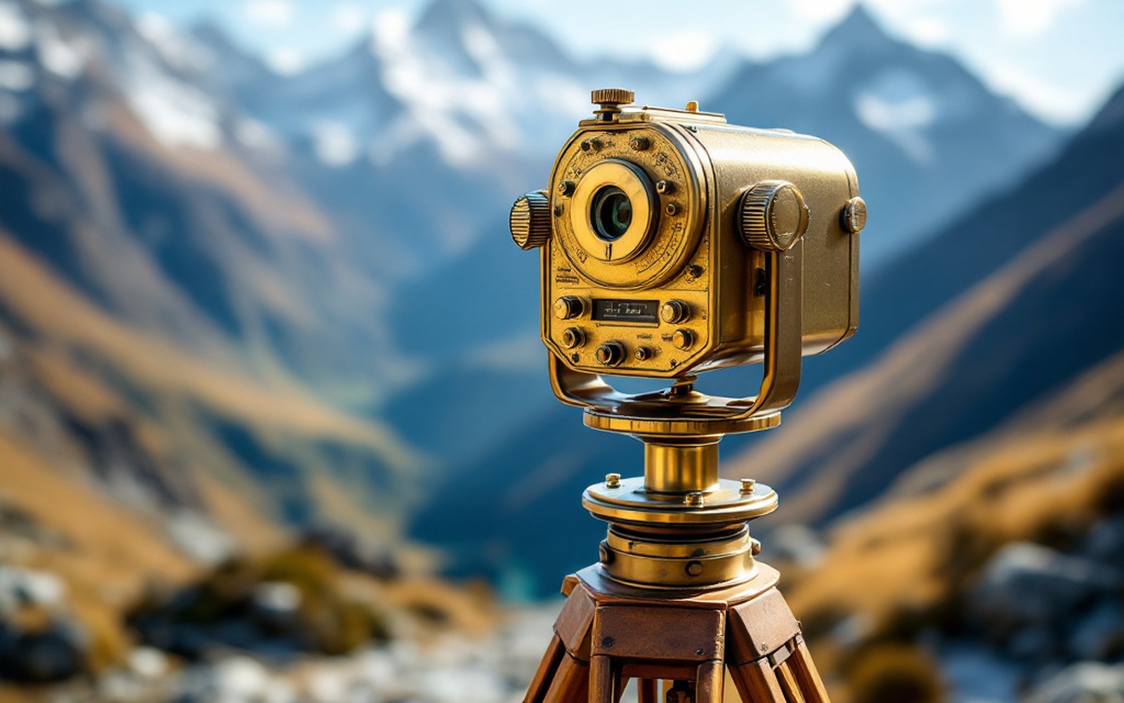
A sextant, a boiling-point thermometer and a compass are enough to fix a position and an altitude if you are patient.
-
06.4
Heights and Coordinates
Water boils lower as you climb, so a thermometer becomes an altimeter and a route becomes a profile.
The other sections