The Barley Line
Barley ripens higher than any other cereal, and the altitude at which it stops is the altitude at which settled farming stops.
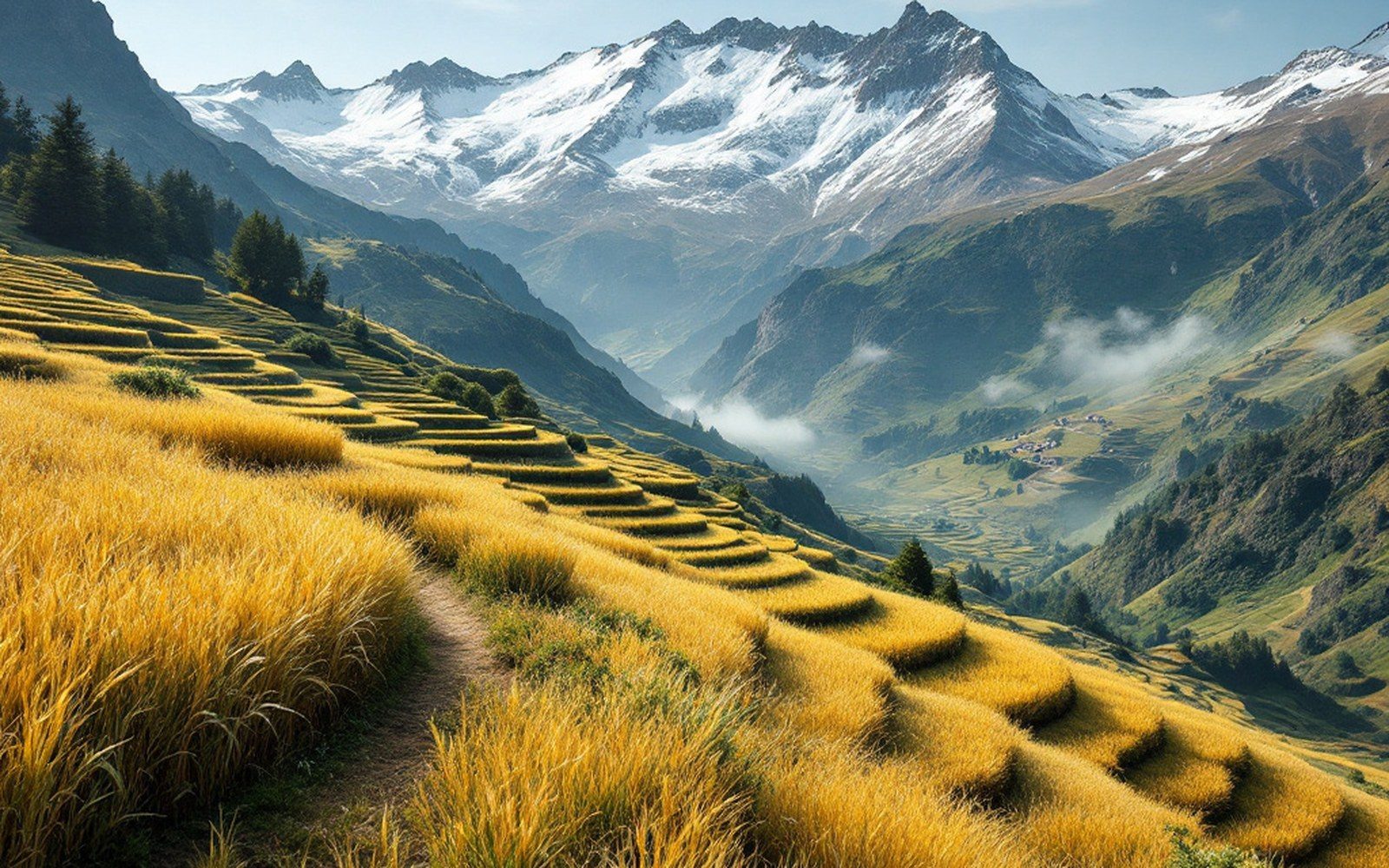
~4,500 m: effective upper limit of barley cultivation on the plateauProTibet picture library
01The Ceiling of Grain
Barley sets the upper limit of settled life on the plateau — the altitude at which it stops ripening is the altitude at which villages stop.
At roughly 4,500 metres above sea level, the growing season on the Tibetan plateau collapses to a length that no cereal can use.
Below that line, in the sheltered river valleys of the Yarlung Tsangpo and its tributaries, Hordeum vulgare var. coeleste — hulless barley, called nas in Tibetan — has been cultivated for at least three and a half millennia. Above it, the land belongs to the pastoralists. That boundary between field and open range is not a political line or a cultural preference; it is a thermal fact, enforced annually by the frost calendar.
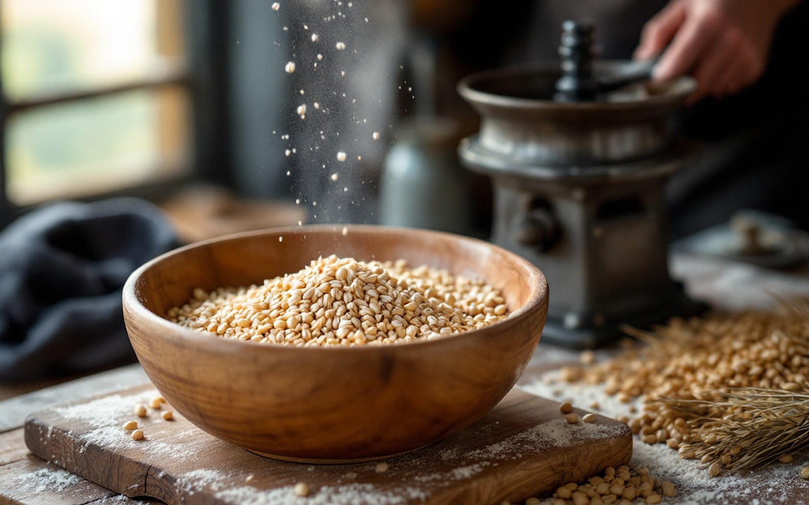
Roasted barley flour keeps, needs no cooking and can be eaten anywhere, which is why it is the staple rather than bread. Read the entryProTibet picture library
Barley is not merely the highest-altitude cereal in the world; it is so by a considerable margin.
Wheat, millet and buckwheat all give up lower. What makes barley exceptional is a combination of short-season genetics and cold-tolerance physiology: the cultivated landraces grown on the plateau can complete their life cycle — germination to ripened grain — in as few as ninety days, and they do so at mean growing-season temperatures that would abort the grain-fill in any other major crop. Research on Tibetan barley landraces has shown that the plateau varieties carry genetic adaptations to low temperature and intense ultraviolet radiation that are largely absent in lowland relatives, the result of thousands of years of selection at altitude.
02Where the Fields Are, and Why
The core barley-farming zone runs through a band of inhabited valleys between roughly 3,200 and 4,200 metres.
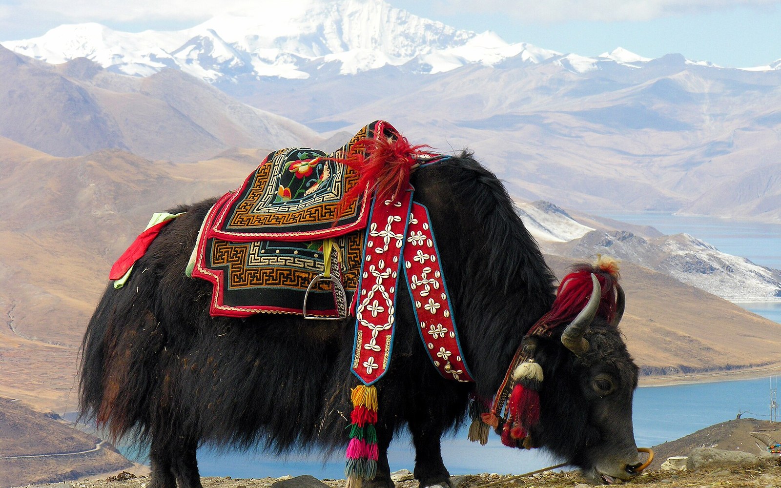
Lhasa (29.65°N, 91.14°E, approximately 3,650 m) sits comfortably within it. Shigatse (29.25°N, 88.88°E, approximately 3,840 m) is deeper into the productive range, its fields lining the Nyang Chu valley floor where cold-air drainage is offset by aspect and shelter. Gyantse (28.93°N, 89.60°E, approximately 4,040 m) pushes closer to the effective ceiling; fields there are carefully placed on south-facing slopes where solar radiation is maximum and frost pockets on valley floors are avoided. Above Gyantse, cultivation becomes patchy and then absent, giving way to the open pastures of the drokpa — the plateau's pastoral nomads — who keep yak and sheep across terrain that farming cannot use.
The mechanism is simple. Barley grain requires heat accumulation — agronomists measure this as growing degree days, the sum of daily mean temperatures above a base threshold — across the entire growing season. At very high altitudes, the season is not just short; the daily means are so low that heat accumulates too slowly for grain to fill before the first killing frost. The exact ceiling shifts with aspect, slope drainage and local valley geometry, which is why a single ridge can separate a terraced field from bare grassland. The Yarlung Tsangpo valley runs roughly east-west, and its north-facing and south-facing slopes grow entirely different things at the same altitude.
Key thresholds
| ~4,500 m | effective upper limit of barley cultivation on the plateau |
| ~90 days | minimum growing-season length for plateau landraces to complete grain-fill |
| ~3,200–4,200 m | the core agricultural band; Lhasa (3,650 m), Shigatse (3,840 m), Gyantse (4,040 m) all within it |
| Below ~3,000 m | barley gives way to wheat, buckwheat, maize, and rice at lowest elevations |
The floor of this system matters as much as the ceiling.
Below about 3,000 metres, where the plateau descends into the gorge systems of the eastern and southeastern margins, barley gives way to other crops — wheat, maize, buckwheat, rice at the lowest elevations. Barley is not the champion of those warmer zones; it is specifically the champion of the cold intermediate band, and it holds that band almost alone.
03The Crop and What It Becomes
The barley harvested across this zone is overwhelmingly hulless — the grain threshes free of its husk, ready to be parched and ground without the processing that husked varieties demand.
Parching is done in a dry iron pan over a dung-fuel fire; the toasted grain is then ground on a hand quern or, in larger settlements, at a water mill where streams allow. The result is tsampa, roasted barley flour, which can be eaten mixed with butter tea or cold water anywhere — no subsequent cooking required. That quality, the ability to be consumed without fire, is inseparable from the demands of high-altitude pastoral life and long-distance travel. The crop and its main processed form are adapted to the same environment.
Tibetan barley — nas — also feeds the production of chang, a fermented barley beer that is the everyday drink of farming communities throughout the agricultural zone.
Chang fermentation uses a starter culture maintained locally, and the product is low in alcohol and strongly tied to the grain quality of a specific harvest and valley. Neither tsampa nor chang requires barley to be anything other than what it is: a dense, starchy grain with good keeping qualities in dry, cold storage.
Straw from the harvest serves as fodder and as a component in earthen construction — chopped into rammed-earth mixes and mud mortars, it controls cracking as the material dries.
The same fields that feed a village also supply material for its walls and for the flat earthen roofs packed onto timber frames above. Nothing from the harvest is surplus to the built environment.
04The Survey and the Line
When the Survey of India sent its trained Indian surveyors — the pundits, as they came to be known — across the plateau in the second half of the nineteenth century, the distribution of cultivation was itself a navigational and intelligence datum. Nain Singh Rawat, crossing the plateau in 1865–66, recorded the presence and extent of fields as part of his systematic observation; the transition from farming villages to open pasture was a legible signal of altitude and terrain type. The Survey of India's records from this period, now archived partly at Dehradun, carry altitude measurements tied to specific valley settlements that can be read alongside the barley line as a consistent threshold.
The boiling-point thermometer that the pundits carried to measure altitude — water boils at a lower temperature with every metre of ascent — put numbers to what farmers had always known empirically: there is a ceiling, and above it the land is managed differently. The barley line is not a generalisation. It is a material fact that shows up in the archaeological record, in the genetic structure of the crop, in the architecture of the settlements it supports, and in the nineteenth-century survey data that first fixed the plateau's topography in measured coordinates. A line in the landscape, drawn not by anyone's hand but by the frost.
Varieties and products
| nas | Tibetan hulless barley (Hordeum vulgare var. coeleste); threshes free of husk |
| tsampa | parched, ground nas; needs no cooking after milling |
| chang | fermented barley beer; everyday drink in farming villages |
| Straw | used in rammed-earth walls and mud mortars; nothing from the harvest is wasted |
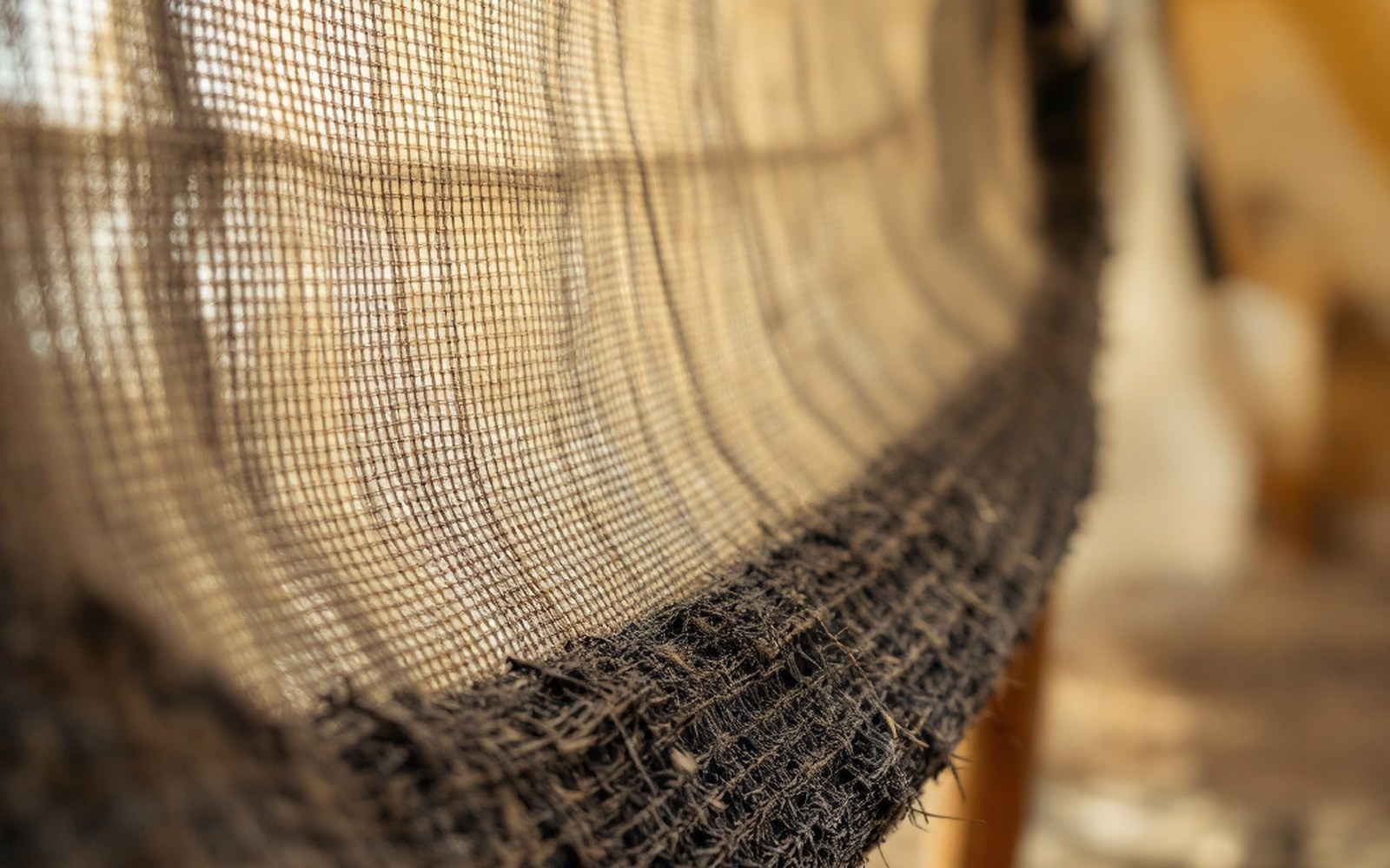
Woven from yak hair, the cloth swells when wet and closes its own weave, so a loose fabric becomes a rainproof roof. Read the entryProTibet picture library
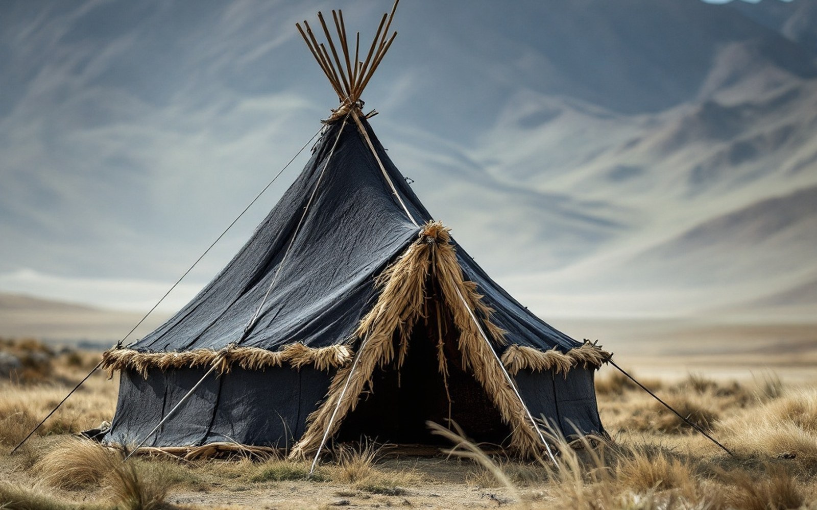
Yak-hair cloth swells when wet and closes its own weave, so a loose fabric becomes a rainproof roof.ProTibet picture library