Ranges and Passes
The plateau is not flat. It is a stacked archive of collision — ranges folded one behind another, each one a barrier, each pass through it a fact of geography that became a fact of history.
The plateau is bounded and divided by ranges, and the passes between them decided every route across it.
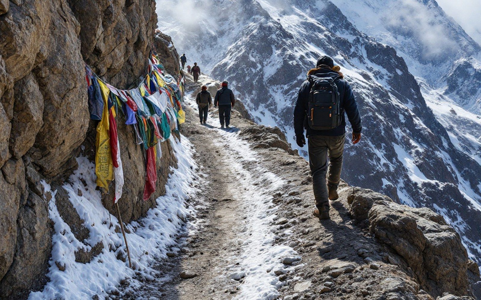
Plateau mean elevation: above 4,500 mProTibet picture library
01The Frame and the Interior
The Tibetan plateau sits at a mean elevation above 4,500 metres, but that figure conceals its actual structure.
The plateau is not a plain; it is a corrugated surface, crumpled by the collision of the Indian and Eurasian tectonic plates that has been running for roughly fifty million years. The result is a series of roughly east–west ranges stacked across the plateau's width, each range a separate fold in the crust, each fold a wall that routes, trade, and every form of movement had to negotiate.
The southern boundary is the most dramatic boundary on Earth.
The Himalayas — from the Sanskrit himālaya, house of snow — run for some 2,400 kilometres along the plateau's southern edge, carrying more than a hundred peaks above 7,200 metres. They are young mountains by geological measure, still rising as the Indian plate continues its northward push. North of them, set back across the Yarlung Tsangpo valley, the Transhimalaya (also called the Gangdise or Kailas range) runs roughly parallel, carrying the Kailash range — a granite massif whose summit, Kangrinboqê (6,638 m), stands as the hydrographic pivot of the subcontinent, shedding water into the Indus, the Sutlej, the Karnali and ultimately the Yarlung Tsangpo–Brahmaputra system.
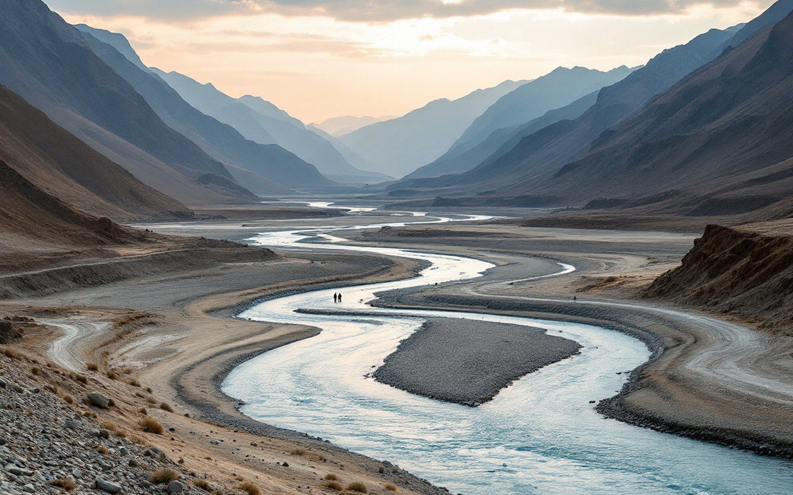
The major rivers of Asia rise here, and the inhabited valleys are the low warm exceptions to a cold high surface. Read the entryProTibet picture library
Further north, the Kunlun range forms the plateau's northern wall, separating it from the Tarim Basin.
Its western extension, the Karakoram, carries K2 and forms an almost impenetrable barrier along the plateau's northwestern corner. Between the Transhimalaya and the Kunlun lies the Chang Tang — the northern plateau — a vast interior, basin after basin holding salt lakes with no outlet, divided by lower, less dramatic ranges that are no easier to cross in winter.
The interior of the plateau is itself subdivided.
The Nyenchen Tanglha range runs northeast from above Lhasa, forming the southern boundary of the Chang Tang proper. Lake Namtso (4,718 m) sits in its northern rain shadow. Further east, the plateau fragments into the Hengduan ranges — a tangle of parallel ridges and deep gorges that carry the Mekong, the Salween and the Yangtze in close proximity before they diverge across Southeast Asia.
Elevation reference points
- Plateau mean elevation: above 4,500 m
- Himalayan range length: approximately 2,400 km
- Kangrinboqê (Kailash): 6,638 m
- Lake Namtso: 4,718 m
- Khamba La: 4,794 m
- Nathu La: 4,310 m
- Tang La: 5,010 m
- Montgomerie's K2 observation: 1856, from Kashmir
02Passes as Infrastructure
A range without a pass is a wall. The passes — la in Tibetan — were the plateau's infrastructure, and their altitudes, surfaces and seasonal conditions determined which routes were viable and which were not. The main inhabited corridor of Tibet, the Yarlung Tsangpo valley connecting Lhasa to Shigatse and Gyantse, is bounded to the south by the Himalayas and to the north by the Transhimalaya, and communication with the Indian subcontinent depended on finding negotiable gaps in both.
The Khamba La (4,794 m), east of Gyantse, carries the route between the Yarlung Tsangpo valley and the Chumbi valley toward Sikkim.
The Nathu La (4,310 m) further south was the main commercial crossing for centuries, the pass over which wool moved south and manufactured goods moved north, a physical fact that structured the entire salt-and-wool economy of the plateau's southern tier. Passes at these altitudes are open for much of the year, but a change in elevation of a few hundred metres — and many Himalayan passes sit above 5,000 metres — shifts open season from many months to a few weeks.
The critical passes between central Tibet and the north are higher and harder.
The Tang La (5,010 m) north of Lhasa, on the route toward the Chang Tang, is straightforward in summer and brutal in winter. Routes across the Kunlun that link the plateau to the Tarim Basin cross passes frequently above 5,500 metres, many of them carrying snow year-round and passable only in the brief window when summer warmth softens the surface enough for laden animals.
The passes shaped the pundit surveys of the nineteenth century as decisively as they shaped trade.
When the Survey of India trained Nain Singh Rawat and his colleagues to measure the plateau, the routes they were assigned followed the existing pass network — there was no other geography to follow. Montgomerie's original scheme, in which surveyors would carry their instruments disguised among traders' goods, was premised entirely on the fact that trade routes were pass routes, and that a man on foot with a load could cross the Himalayas only where traders already crossed them. Nain Singh's first journey from Kathmandu to Lhasa crossed the Himalayas by the Kyirong pass before descending to the plateau interior — the pass dictated the line.
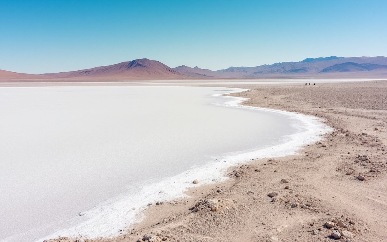
The northern plateau is a basin with no outlet, so its lakes are salt and its water goes nowhere. Read the entryProTibet picture library
03Surface, Season, and Load
The character of a pass is not simply its altitude.
Surface geology matters: a pass floored in scree or loose shale, even at moderate elevation, slows animals and breaks loads. A pass over consolidated rock or compacted earth at 5,200 metres may be faster than a soft-floored one at 4,800 metres. Aspect — whether the pass faces into or away from the prevailing wind and moisture — determines snow load, ice risk and the timing of seasonal opening.
The yak is the pass animal of the high plateau.
Its lung capacity, its dense undercoat, its ability to paw through surface snow to graze, and its sure-footedness on rock and ice made it the default load carrier across every route above 4,000 metres. Horses and mules operated on lower passes and in the valleys; the yak held the high ground. Pack loads on a plateau yak ran to around 130 kilograms over level ground but were reduced on steep ascents, and a caravan's daily distance contracted sharply near a major pass, with camps established at the foot and summit to allow graded ascent and descent.
Key terms (for callout or caption use)
| la | Tibetan word for a mountain pass; appears in pass names across the plateau |
| Transhimalaya | the northern parallel range, also called Gangdise or Kailas range |
| Chang Tang | the northern interior plateau, basin country above and behind the main ranges |
| dzong | fortified administrative building sited to command a pass route's valley exit |
The geometry of passes also shaped building.
Dzongs — the fortified administrative buildings that commanded valley junctions — were sited where a pass route debouched into a valley, placing the administrative structure at the point where goods, people and information funnelled through. The Gyantse dzong, on its rock above the town, controlled the route from the Khamba La. The relationship between dzongs and the pass network is not incidental; it is structural.
04Measurement and the Unmapped Interior
Thomas George Montgomerie of the Survey of India observed, from a summit in Kashmir in 1856, the distant peaks he designated K1 and K2 — the first systematic triangulation reaching into the plateau's mountain frame from outside it. The pundits carried the measurement inward, pace by counted pace across the passes. Their heights and coordinates, recorded in boiling-point thermometer readings taken at pass summits, gave the Survey its first reliable elevations for the interior routes. The passes were not incidental to that survey: they were its measurement stations, the points where thermometers came out and barometers were read, because a pass is by definition a fixed topographic feature with a known relationship to the ridgeline it breaches.
The plateau's ranges are still rising at rates measurable by GPS.
The passes are not fixed features in any geological sense — they are the current low points in a surface that the collision of plates continues to deform. But on the timescale of human use, they are as close to permanent as landscape gets: the same gaps in the same ridges that moved wool and salt and manuscripts and surveyors' hidden notebooks continue to carry the plateau's routes today.
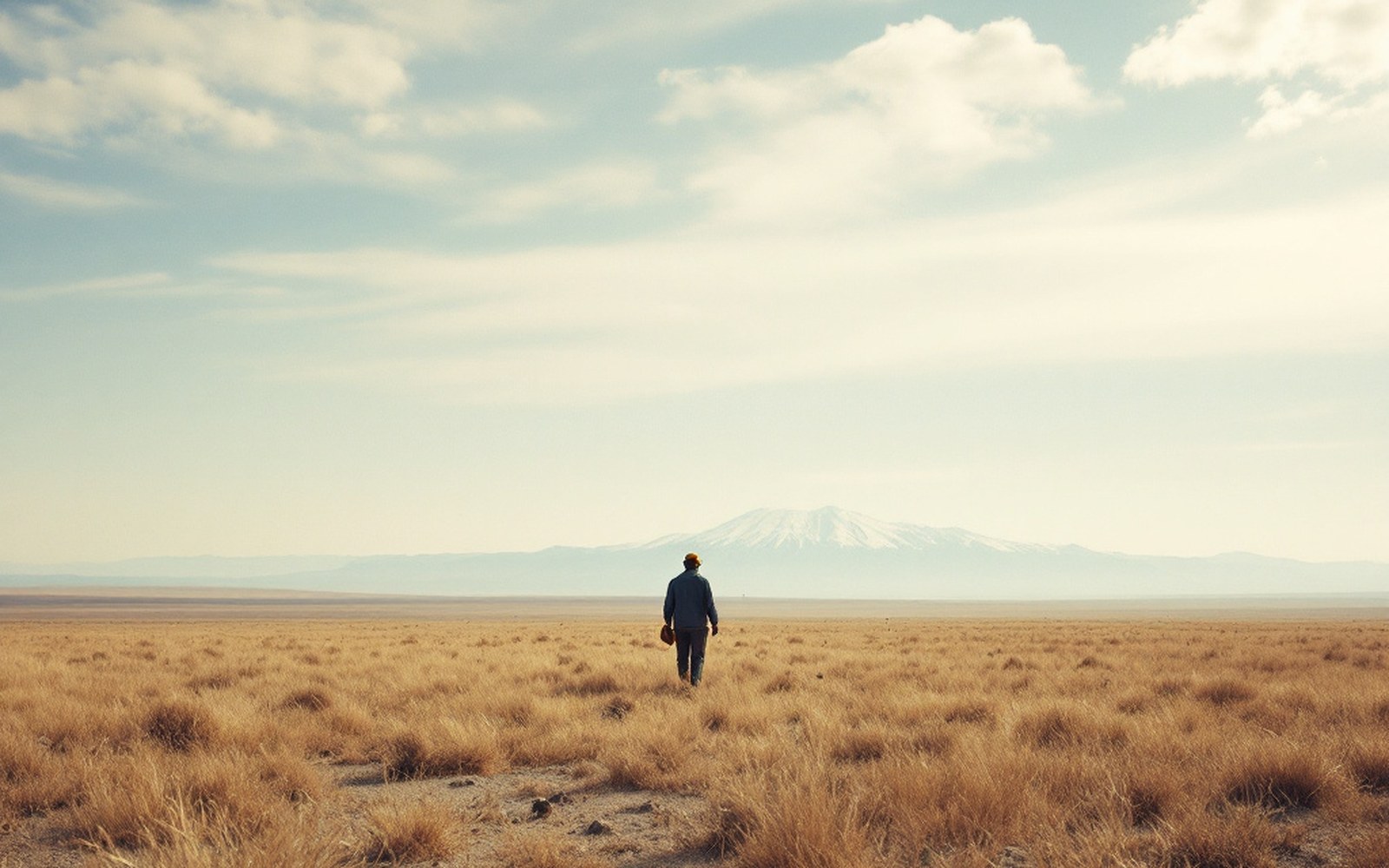
Above the barley line there is grass and nothing else, which is why the economy moved rather than settled.ProTibet picture library
Kailash at 31.07°N 81.31°E — the position the route surveys fixed, with the other places named across the site.
- A place an entry names — the pin opens that entry
- Graticule at 5° of longitude, 3° of latitude
- National outlines: China, India, Nepal, Bhutan